What is recorded here
Ballybranagan is a ruined ringfort, a circle of stone twenty-four metres across, half-swallowed by the rock outcrop and a modern field wall. It is not a fairy tale, though people called it one when they stopped knowing its shape. A house once stood inside the circle, and the fort may have been a boundary marker, a shelter, or a claim of ownership written in stone. What is certain is that the wall collapsed, the purpose faded, and the land kept the circle instead of erasing it.
In an area of rock outcrop. Poorly preserved circular cashel (diam. 24m) defined by a collapsed
drystone wall. A modern field wall abuts the monument at S. There is a house site (GA113-001001-) within the interior.
Compiled by: Galway Archaeological Survey, UCG
Date of upload: 13 October 2016
The monument record does not grant public access. Check the route and ask the landowner before entering private land.
- What survives
- Recorded monument
Places near here
 mill (wind)mill (wind) · 373 yd
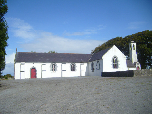 Saint Colman's Catholic Churchchurch/chapel · 379 yd
 CrossCross, Churchyard cross · 409 yd
 Mulroney's IslandIslet · 1352 yd
 Not locatedMan-made underground passage · 1541 yd
 CastleCastle, tower house · 1634 yd
 Cusheen IslandIslet · 1638 yd
 Dunguaire CastleCastle · 1.0 mi
 Traught BeachBeach / strand · 2.5 mi
 Abbey HillMountain / peak · 3.9 mi
 Mweenish PointHeadland · 4.3 mi
 Drumacoo Monastic SiteHeritage attraction · 4.3 mi