What is recorded here
On a N-facing slope in undulating pastureland. A subcircular cashel (30m N-S; 28.5m E-W), in
fair condition, defined by a partially collapsed drystone wall, the outer face of which is obscured by field-clearance rubble. A gap (Wth 2.1m) at NE may be original, while another at S (Wth 3.5m) appears to be modern. A field wall overlies the cashel wall at SW.
Compiled by: Galway Archaeological Survey, UCG
Date of upload: 13 October 2016
The monument record does not grant public access. Check the route and ask the landowner before entering private land.
- What survives
- Recorded monument
Places near here
 EnclosureEnclosure, large enclosure · 1072 yd
 IndicatedEnclosure · 1085 yd
 Thoor Ballyleehouse · 1245 yd
 Ballylee CastleCastle, tower house · 1257 yd
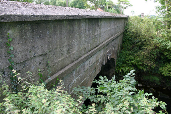 bridgebridge · 1324 yd
 Kiltartan Castle (in ruins)Castle, Anglo-Norman masonry castle · 1561 yd
 European ashEuropean ash · 1.4 mi
 HawthornHawthorn · 1.4 mi
 Drumharsna CastleHeritage attraction · 3.9 mi
 Castle IslandIsland · 4.1 mi
 Holly IslandIslet · 4.1 mi
 Kilmacduagh Monastic SiteVisitor information · 5.2 mi