What is recorded here
Ballinscoola holds two collapsed stone rings on a low limestone hill, each thirty metres across and hidden beneath ancient fences. The better-preserved cashel keeps a faint southern entrance and a circular void where facing stones disappeared. The second sits west of the first, reduced to a whisper of earth and memory. Together they suggest a small defended settlement where people lived, argued, loved and vanished before the stones themselves crumbled into the hill.
Two cashels (LI032-084001-) described in 1942-3 as following; 'The best preserved of these [LI032-084001-] consists of a circular space surrounded by what seems to be a stone bank. It is very collapsed and none of the facing stones are visible. The entrance is on the south and is only barely discernible. Its overall diameter is 100' [30m]. It is situated on a very low limestone hill which is divided up by a system of ancient fences. The second fort is immediately on the west of this but only the slightest trace of it remains. It was probably similar to the one described above. Its overall diameter seems to have been about 100' [30m] (O'Kelly 1942-3, 240). Barely visible outline of levelled cashel visible today on Digital Globe aerial photographs.
Compiled by: Caimin O'Brien
Date of upload: 6 March 2020
See attached ASI aerial photograph ASIAP – 349/13 taken 05/01/2003.
The monument record does not grant public access. Check the route and ask the landowner before entering private land.
- What survives
- Recorded monument
Places near here
 Field system in Ballinscoola (smallcounty By., Cahercorney Ed)Field system · 7 yd
 Moated site in Ballinscoola (smallcounty By., Cahercorney Ed)Moated site · 535 yd
 Bawn in Ballinscoola (smallcounty By., Cahercorney Ed)Bawn · 732 yd
 Castle (in ruins)Castle, unclassified · 957 yd
 Church (in ruins)Church · 1059 yd
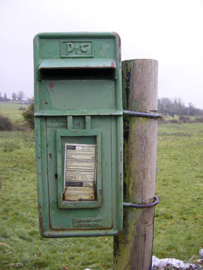 post boxpost box · 1399 yd
 Glen BogForest · 1.6 mi
 KnockainyMountain / peak · 1.7 mi
 Flat cemetery in Knockainy WestFlat cemetery · 2.3 mi
 Lough Gur Heritage CentreVisitor information · 2.4 mi
 Kilteely HillMountain / peak · 3.2 mi
 St. Patrick's WellSpring · 3.5 mi