
What is recorded here
In improved wet pasture, cut by land drains and watercourses, on the floodplain of the Camoge River 280m to E which forms the townland boundary with Kilcullane. Not depicted on OSi historic maps. Cashels (LI032-084001-/02-) are within the centre. Monument identified by the Bruff aerial photographic survey in 1986 (Bruff 223: AP 5/2015) as a large irregular-shaped area of earthworks in the vicinity of two roughly oval-shaped cashels (LI032-084001-/002-). Monument is visible as an irregular-shaped area (4.7 acres/1.9ha) enclosed by a stone wall to E and S, and by cropmarks of former boundaries to W and N, as best seen on OSi orthoimage taken 2005-2012. Also visible on Digital Globe orthoimage taken 2011-2013 and on Google Earth orthoimage taken 20/03/2018. Also visible are a pair of parallel earthworks extending (L 40m N-S) approx. 10m apart, from the NW edge of cashel (LI032-084001-) as best seen on OSi orthoimage taken 2005-2012. Another linear earthwork running NW-SE extends (approx. L 80m) to the immediate NE of cashel (LI032-084001-). Other linear earthworks including a pair of parallel earthworks to SE of cashel (LI032-084001-) and other less defined features occur in the vicinity of the two cashels and there may be evidence of small scale quarrying to SW.
See attached Google Earth orthoimage and Bruff aerial survey image labelled 223
Compiled by: Alison McQueen and Vera Rahilly
Date of upload: 17 November 2020
The monument record does not grant public access. Check the route and ask the landowner before entering private land.
- What survives
- Recorded monument
Places near here
 Moated site in Ballinscoola (smallcounty By., Cahercorney Ed)Moated site · 535 yd
 Bawn in Ballinscoola (smallcounty By., Cahercorney Ed)Bawn · 740 yd
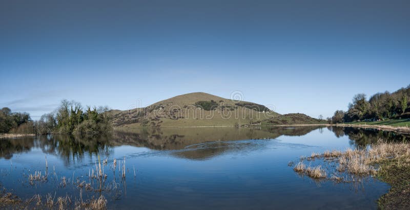 Crannog in RagamusCrannog · 793 yd
 Castle (in ruins)Castle, unclassified · 960 yd
 Church (in ruins)Church · 1063 yd
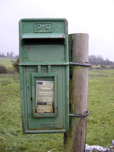 post boxpost box · 1394 yd
 Glen BogForest · 1.6 mi
 KnockainyMountain / peak · 1.7 mi
 Flat cemetery in Knockainy WestFlat cemetery · 2.3 mi
 Lough Gur Heritage CentreVisitor information · 2.4 mi
 Kilteely HillMountain / peak · 3.2 mi
 St. Patrick's WellSpring · 3.5 mi
Other information
Photo: Credit not shown in the picture search · Rights wording not checked; contact us if this picture should be removed