What is recorded here
No visible trace remains where the east fort stood because quarrying operations removed it. The middle and west forts still mark the ridge, preserving the aligned pattern that made the place unusual. Their names and functions have faded, but the loss is clear: one entire fort disappeared under human taking.
Three stone forts described in 1943 as following; 'These three forts [LI032-087-/086-085-] are situated on the highest ridge of a hill which rises to 371' [113m] OD. The forts are in a straight line and close beside one another. The most easterly of the three [LI032-087----], which was in existence at the time of the first O.S. has now completely disappeared as result of quarrying operations'(O'Kelly 1942-3, 171). Only a quarry is visible today on Digital Globe aerial photographs where this 'stone fort' was indicated on the 1840 ed. OS 6-inch map.
Compiled by: Caimin O'Brien
Date of upload: 24 February 2020
See attached ASI aerial photograph ASIAP – 349/18 and 19 taken 05/01/2003.
The monument record does not grant public access. Check the route and ask the landowner before entering private land.
- What survives
- Recorded monument
Places near here
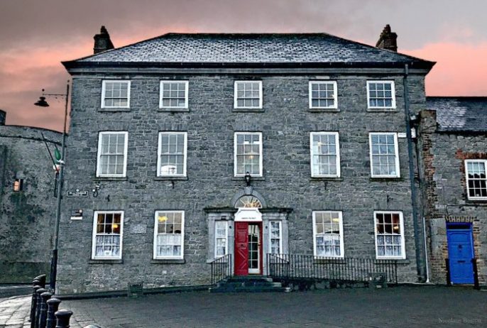 Enclosure in BallinardEnclosure · 112 yd
 Castle (in ruins)Castle, unclassified · 224 yd
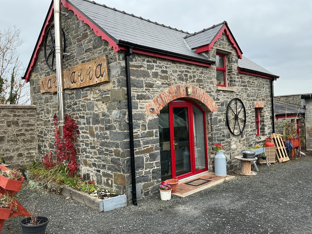 Hut site in BallinardHut site · 245 yd
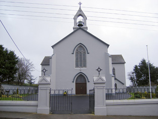 Catholic Church of the Sacred Heartchurch/chapel · 626 yd
 Cloughansoun Bridgebridge · 1047 yd
 Bawn in Ballinscoola (smallcounty By., Cahercorney Ed)Bawn · 1.8 mi
 Kilteely HillMountain / peak · 2.6 mi
 St. Patrick's WellSpring · 2.7 mi
 Flat cemetery in Knockainy WestFlat cemetery · 3.6 mi
 KnockseefinMountain / peak · 4.9 mi
 St Patrick's WellSpring · 7.0 mi
 Ballinvreena LoopVisitor information · 9.3 mi