What is recorded here
The Ordnance Survey Letters (1838-40) noted 'a ruined Cahir of 64 yards diameter on the top of Ballinahinch hill, the greater part of the stones of this extensive Cahir have been carried away to build a boundary wall which runs through the centre of it from North to South.' (O'Flanagan 1928, 85).
Compiled by: Claire Breen
Date of upload: 14 February 2013
The monument record does not grant public access. Check the route and ask the landowner before entering private land.
- What survives
- Recorded monument
Places near here
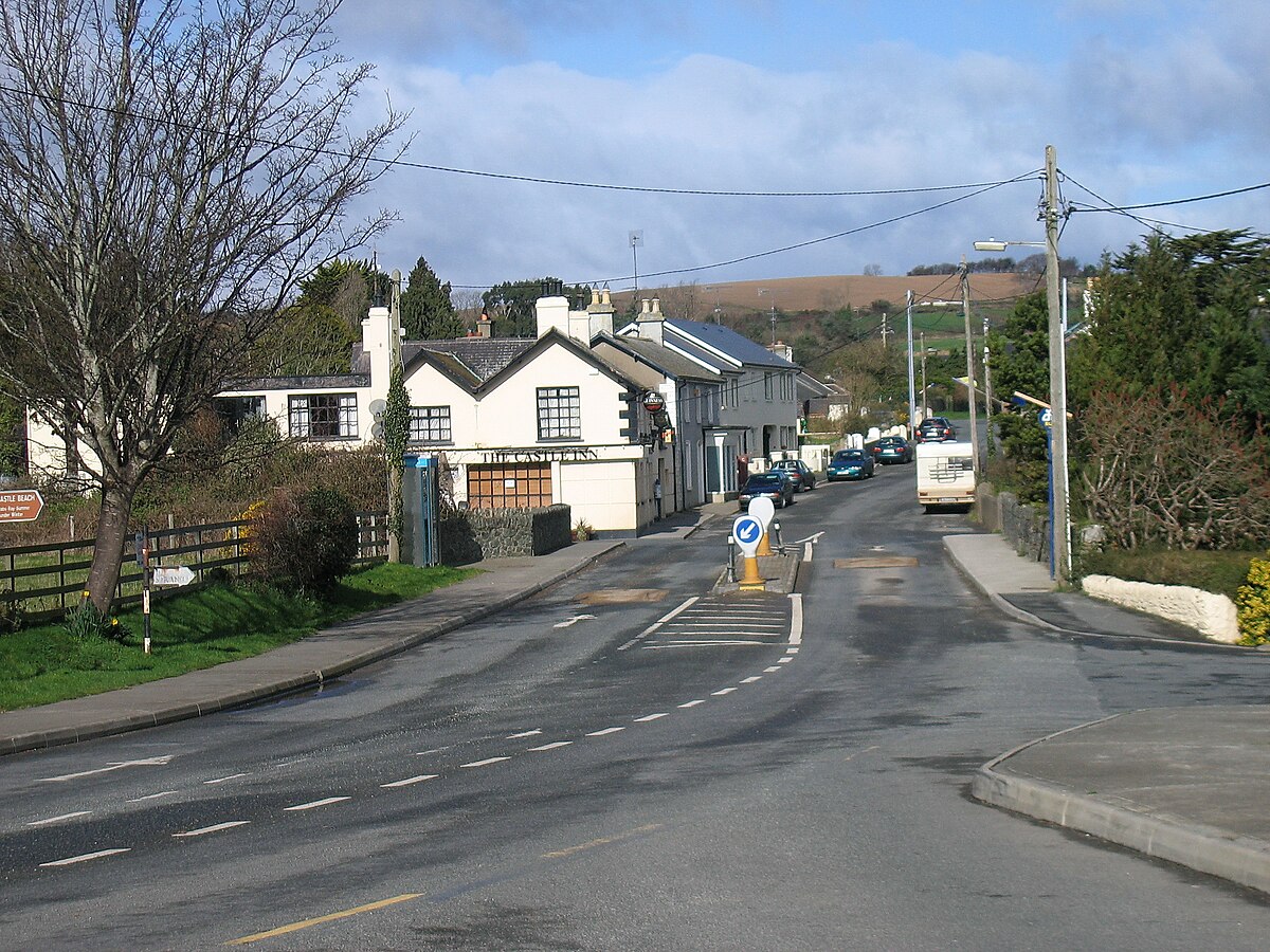 IndicatedEnclosure · 397 yd
 Enclosure in Ballinahinch (newcastle By., Newcastle Upper Ed)Enclosure · 502 yd
 Carrigower BogNature reserve · 1.6 mi
 Church (in Ruins), Grave Yd. (Disused)Church · 1.6 mi
 Church in Kilmurry (newcastle By.)Church · 1.7 mi
 Kavannagh Real Christmas Trees FarmForest · 1.7 mi
 Victor's WayHeritage attraction · 1.9 mi
 Devil's Glen WaterfallWaterfall · 3.4 mi
 BallinacorbegMountain / peak · 3.7 mi
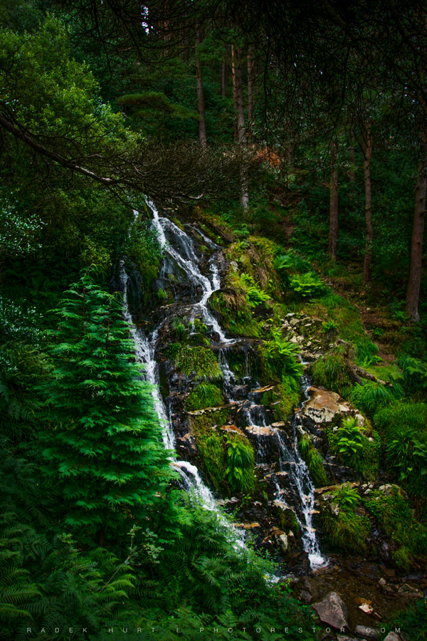 BallinafunshogeMountain / peak · 3.7 mi
 J.B. Malone MemorialMemorial · 4.1 mi
 Castle (in Ruins)Castle, ringwork · 4.2 mi