What is recorded here
Fairy forts are not fairy forts. They are human dwellings from the iron age and middle ages. People lived there, loved there, argued there, buried their dead there and forgot them. Forgetting is the fairy part. The lesson is not to dismiss the unknown. It is to stop inventing the unknown. See the facts, accept the facts, leave the rest alone.
A circular area (diam. 20-25m), named 'Fort' is shown on the 1st edition OS 6-inch map; it is not shown on later map editions.
Inspected in the early 1980's and described as follows: Internal diam. 12m. A circular platform enclosed by a grass-grown collapsed stone wall, to which field clearance stones have been added. The platform is c. 0.25m high on the S side and c. 0.7m on the N side. The wall survives up to .5m in height. Two hollows are dug into the wall. One at the ENE is 2.7m in diameter and another in the W section is 2m in diameter. It is likely that both are of modern origin. The interior is level. It is situated on the crest of a small hill in fairly good pasture with excellent views.
Inspected again in 2003, it was found that the monument had been levelled; there are no remains now visible at ground level.
The above description was derived from the 'Archaeological Survey of County Donegal. A description of the field antiquities of the County from the Mesolithic Period to the 17th century.' Compiled by: Brian Lacey with Eamon Cody, Claire Cotter, Judy Cuppage, Noel Dunne, Vincent Hurley, Celie O'Rahilly, Paul Walsh and Seán Ó Nualláin (Lifford: Donegal County Council, 1983). In certain instances the entries have been revised and updated.
Compiled by: Caimin O'Brien
Revised upload: 19 May 2010
The monument record does not grant public access. Check the route and ask the landowner before entering private land.
- What survives
- Recorded monument
Places near here
 Holy WellHoly well · 614 yd
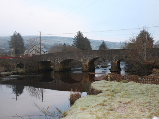 Reelan Bridgebridge · 1246 yd
 AltnapasteMountain / peak · 1523 yd
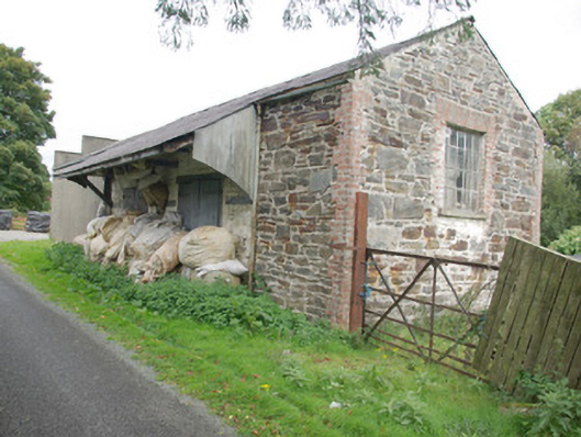 store/warehousestore/warehouse · 1.2 mi
 Fairy fort / stone ringfort in An Chluain ChlaíochFairy fort / stone ringfort · 1.7 mi
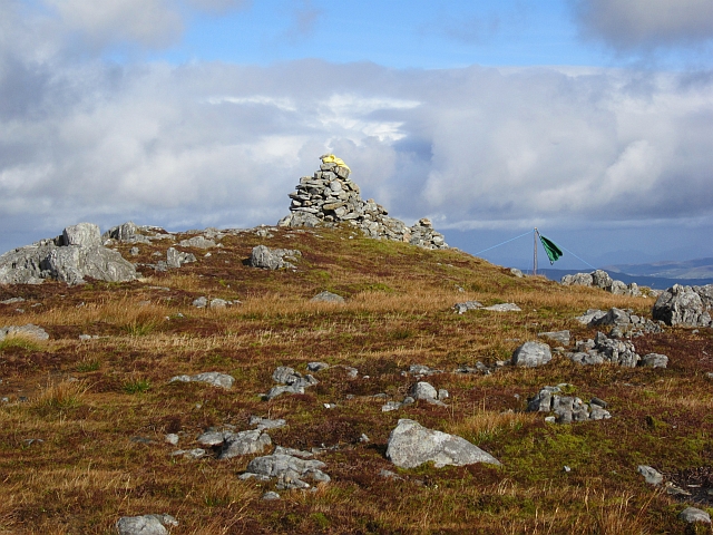 Gaugin MountainMountain / peak · 3.1 mi
 Drumboe WoodForest recreation place · 7.0 mi
 Ard na Mona WoodOfficial walking route · 8.4 mi
 Meenachullion Nature ReserveNational nature reserve · 9.1 mi
 Old CastleCastle, tower house · 9.6 mi
 Newmills Corn and Flax MillsHeritage attraction · 9.8 mi
 Site of Castle SollusCastle, unclassified · 10 mi