What is recorded here
An Caiseal held two stone ringforts ten metres apart until destruction erased them within living memory. They sat on a slight ridge above a fertile valley, forcing anyone who entered to climb before seeing the land they wished to take. Only flat platforms remain, but their shapes still trace the footprints of kitchens, doorways and guards.
Two cashels (DG024-017001-), both now destroyed, stood here (10m apart) within living memory. Two flat-topped plat-forms now mark their locations. The S platform is c. 25m N-S × c. 30m E-W and is 1m above ground level on the N, E and S and 2m to 3m on the W. The N platform c. 16m N-S and c. 19m E-W is raised above ground level in the same way as the S site. They were located on a slight ridge overlooking a fertile valley to the W.
The above description was derived from the 'Archaeological Survey of County Donegal. A description of the field antiquities of the County from the Mesolithic Period to the 17th century.' Compiled by: Brian Lacey with Eamon Cody, Claire Cotter, Judy Cuppage, Noel Dunne, Vincent Hurley, Celie O'Rahilly, Paul Walsh and Seán Ó Nualláin (Lifford: Donegal County Council, 1983). In certain instances the entries have been revised and updated.
Date of upload: 22 September 2008
This remains an important historical record, but the official description says the monument is no longer visible or has been destroyed. The monument record does not grant public access. Check the route and ask the landowner before entering private land.
- What survives
- No visible remains or recorded as destroyed
Places near here
 Fairy fort / stone ringfort in An Caiseal (tc Dún Lúiche)Fairy fort / stone ringfort · 13 yd
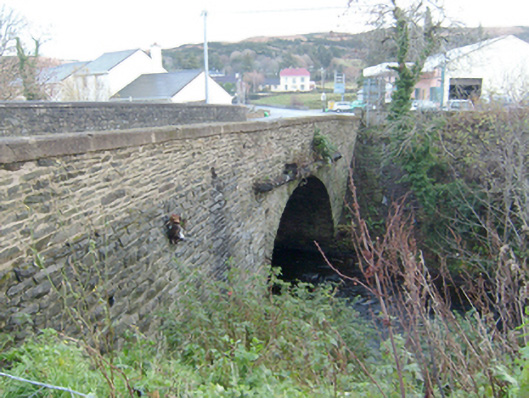 Droicheadh Bhedlam [Bedlam Bridge]bridge · 1041 yd
 Gortahork Inland Promontory FortPromontory fort, inland · 1185 yd
 Teach Pobail Chríost Rí [Catholic Church of Christ the King]church/chapel · 1378 yd
 Castle Bawne (in Ruins)Bawn · 1.9 mi
 Monterey CypressMonterey Cypress · 2.8 mi
 Wych ElmWych Elm · 2.9 mi
 MagheraroartyOfficial bathing water · 2.9 mi
 Trá Dhroim na TineBeach / strand · 3.6 mi
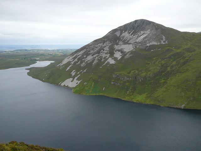 Aghla MoreMountain / peak · 3.9 mi
 Inis Bó FinneIsland · 4.9 mi
 The Bridge of TearsMemorial · 5.0 mi