
What is recorded here
Half the wall is gone, but the remaining stones still mark a large oval on the SE-facing slope. People built or reused it across centuries, adding drystone sections to an older stony bank. The missing parts may have fallen, been taken for other walls, or simply surrendered to grass and time. What remains is wide enough to walk around and clear enough to see without being so complete it stops you wondering.
On the SE-facing slope of a low ridge. Hachured on both the first (1842) and Cassini (1920) editions of the OS 6-inch map. This large, oval-shaped cashel (53m NNW-SSE; 44m ENE-WSW) is defined from NNE-E-SE by a stony bank (Wth 5m; max. H 0.5m) overlain by a later drystone wall (max. H 1.4m), and at W by a double-faced drystone wall (Wth 1m; max. H 1.4m). From NW-NNE and SE-SW the cashel wall has been removed but the perimeter is traceable as a low scarp from SE-SW.
Compiled by: Gearóid Conroy and Conn Herriott
Date of upload: 20 July 2023
A large, oval-shaped early-medieval stone ringfort (cashel) located on a low ridge in Aglish, likely dating to the 6th–10th centuries. The site is associated with local fairy folklore, as suggested by its traditional name, and was mapped as a prominent feature in the 19th and early 20th centuries.
This remains an important historical record, but the official description says the monument is no longer visible or has been destroyed. The monument record does not grant public access. Check the route and ask the landowner before entering private land.
- What survives
- No visible remains or recorded as destroyed
Places near here
 ToberinneenboyHoly well · 693 yd
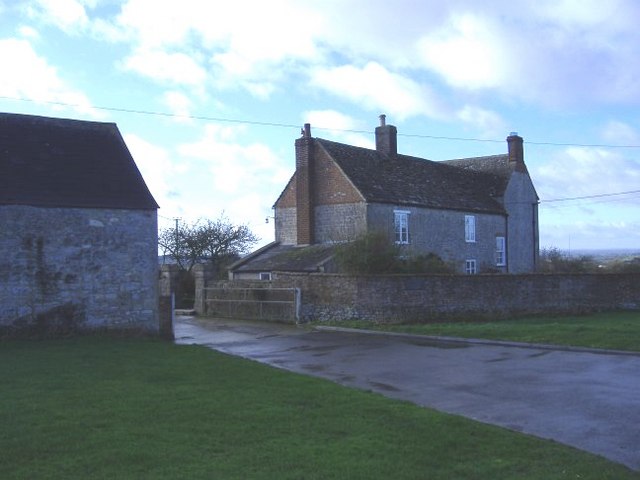 Enclosure in Ballard (inchiquin By.)Enclosure · 915 yd
 Templemore Church (in Ruins)Church · 1.3 mi
 Mullagh MoreMountain / peak · 1.8 mi
 Church in KellsChurch · 1.8 mi
 Burren National ParkVisitor information · 1.9 mi
 Ballyporty Castle (in ruins) / TowerCastle, tower house · 2.4 mi
 Father Ted's HouseHeritage attraction · 2.4 mi
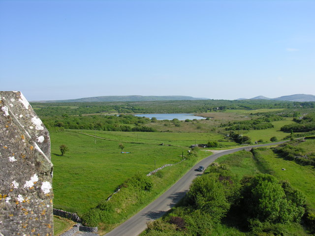 IndicatedBawn · 2.4 mi
 Battle of TullyodeaBattlefield · 3.2 mi
 Rock IslandIsland · 3.9 mi
 Inchiquin IslandIslet · 4.0 mi
Other information
Photo: Credit not shown in the picture search · Rights wording not checked; contact us if this picture should be removed