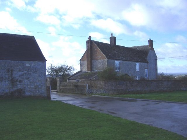
What is recorded here
On a gentle S-facing slope in pasture. Hachured on both the first (1842) and Cassini (1920) editions of the OS 6-inch map. Also recorded on the intervening and larger scale OS 25-inch plan (1897) where it is recorded as a roughly circular area (est. diams. c. 30m N-S; c. 26m E-W) defined by a short length of bank at NE, a scarp from NE-E-SSW and a counterscap from SSW-NW-NE. A later field boundary is shown running on the counterscarp between NW and NNE and may incorporate part of an earlier enclosing element. When inspected in 1999, no visible surface trace of the enclosing element from NNE-S-NW was visible, however subsurface archaeological deposits may survive intact.
Compiled by: Gearóid Conroy and Conn Herriott
Date of upload: 20 July 2023
The monument record does not grant public access. Check the route and ask the landowner before entering private land.
- What survives
- Recorded monument
Places near here
 ToberinneenboyHoly well · 362 yd
 Caherahoagh FortsFairy fort / stone ringfort · 772 yd
 Burren National ParkVisitor information · 1.4 mi
 Templemore Church (in Ruins)Church · 1.5 mi
 Mullagh MoreMountain / peak · 1.6 mi
 Correen R.C. Chapel (in ruins)Church · 1.9 mi
 Father Ted's HouseHeritage attraction · 2.0 mi
 Slieve RoeMountain / peak · 2.1 mi
 Ballyporty Castle (in ruins) / TowerCastle, tower house · 2.2 mi
 ‘De Clare’s House (in ruins)’ (1842 )Bawn · 3.3 mi
 Battle of TullyodeaBattlefield · 3.4 mi
 Rock IslandIsland · 3.6 mi
Other information
Photo: Credit not shown in the picture search · Rights wording not checked; contact us if this picture should be removed