What is recorded here
Aggard More contains a vanished stone ringfort, mapped in 1838 as a subcircular enclosure thirty-three metres wide but lost to scrubland by 1952. The field boundary cutting through it suggests human hands claimed the fort long before records stopped seeing it. What remains is a ghost shape in the terrain, waiting for someone to clear the bramble and remember the stones beneath.
In scrubland. Marked on the 1838 edition of the OS 6-inch map as a subcircular enclosure (c. 33m E-W; c. 31m N-S). McCaffrey (1952, 210, no. 7) classified it as a possible stone fort but recorded that it as 'Not present' during his survey. On inspection in May 1983 due to dense overgrowth it could not be located. The NNW-SSE running field boundary shown on the 1933 edition of the 6-inch map may bisect it.
Compiled by: Galway Archaeological Survey, UCG
Date of upload: 16 July 2019
The monument record does not grant public access. Check the route and ask the landowner before entering private land.
- What survives
- Recorded monument
Places near here
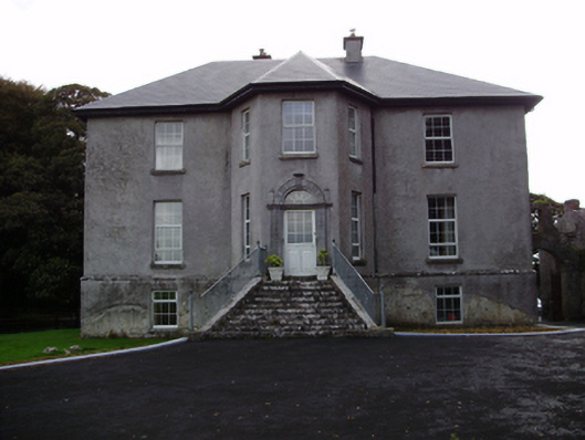 Aggard Housecountry house · 775 yd
 Chapel in Carrigeen EastChapel · 1009 yd
 IndicatedFairy fort / stone ringfort · 1215 yd
 CahermoreFairy fort / stone ringfort · 1236 yd
 Site of Shanbally CastleCastle, unclassified · 1558 yd
 Roo Castle (in ruins)Castle, tower house · 1.1 mi
 Moyard WoodWood · 3.4 mi
 Kilcornan WoodWood · 4.1 mi
 Mweenish PointHeadland · 9.0 mi
 Mulroney's IslandIslet · 9.3 mi
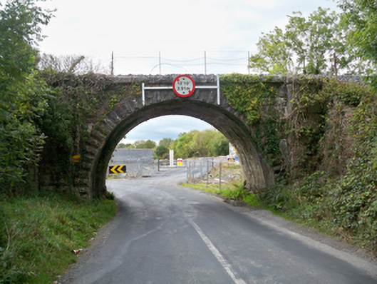 Aggard Bridgebridge · 1327 yd
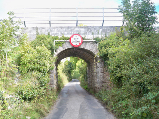 Grenage Bridgebridge · 1366 yd