What is recorded here
A circular enclosure, roughly 39m across, is visible as a cropmark in Windgates, County Kildare, Ireland. The soil and vegetation reveal its shape, while the earth keeps the rest. People may have lived, hidden, marked territory or simply let the field breathe around that circle. The land still holds the shape of their choices.
Cropmark of circular-shaped enclosure (approx. diam. 39m) visible on Google earth aerial imagery.
See attached image taken from Google Earth aerial photographs taken 28/06/2018
Compiled by: Caimin O'Brien based on details provided by Jean-Charles Caillère
Date of upload: 11 September 2019
The monument record does not grant public access. Check the route and ask the landowner before entering private land.
- What survives
- Recorded monument
Places near here
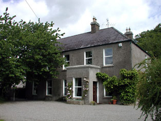 Windgates Househouse · 264 yd
 Enclosure in WindgatesEnclosure · 268 yd
 CastleCastle, tower house · 1060 yd
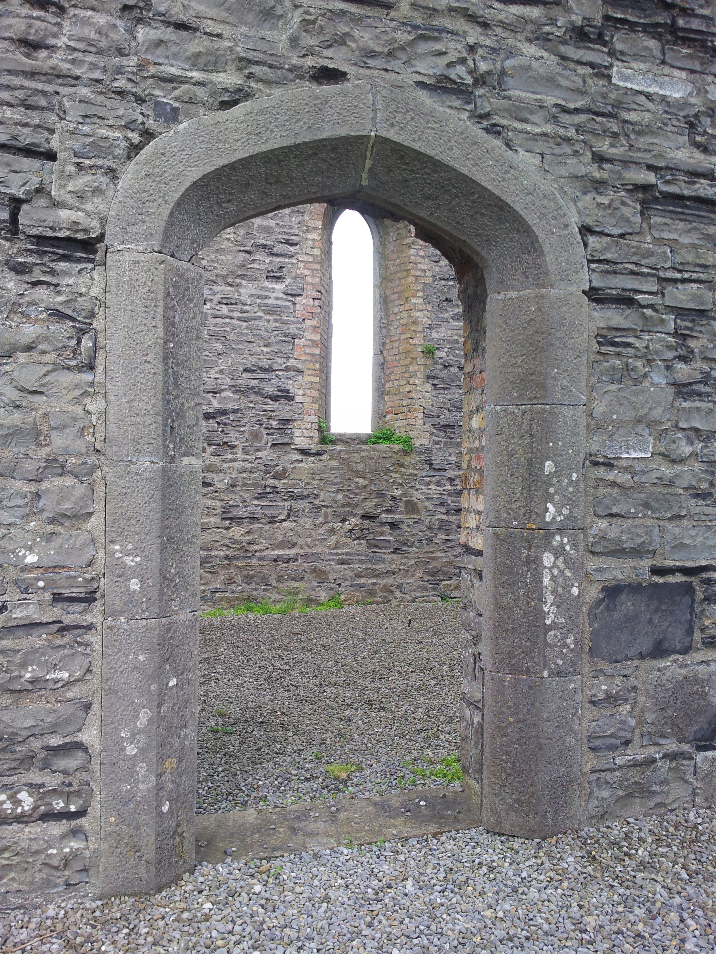 Enclosure in TaghadoeEnclosure · 1156 yd
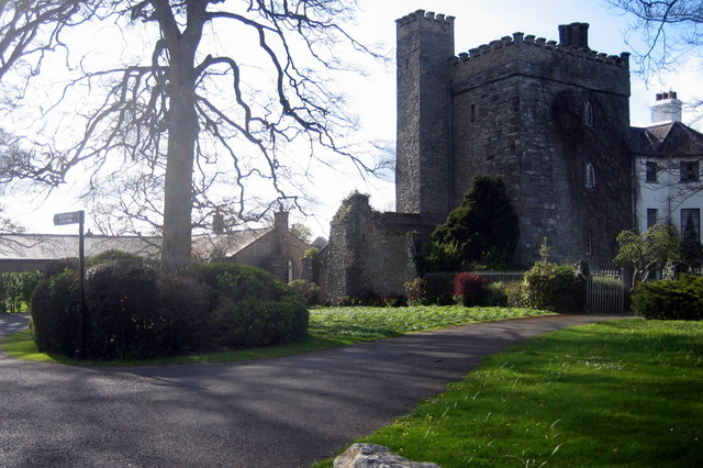 Barberstown CastleCastle, tower house · 1.1 mi
 Church (in Ruins)Church · 1.2 mi
 Maguire's WoodWood · 1.4 mi
 Cocked Hat WoodWood · 1.5 mi
 Andrew FayMemorial · 1.6 mi
 The Steam MusemMuseum · 1.8 mi
 Joseph McCormackMemorial · 1.9 mi
 Conolly's FollyHeritage attraction · 2.7 mi