What is recorded here
Fairy fort in Urraghry, County Galway: a shallow oval of grass and soil, two banks and a ditch between them, most of the outer wall gone. The name suggests people once believed the fairies lived there, but the shape and size fit a human dwelling or yard. Perhaps a family worked the grassland, built the banks, and left before the story changed them into fairy tenants.
In grassland. Poorly preserved subcircular rath (N-S 34m, E-W 28m) defined by two banks and an intervening fosse. The inner bank survives at N and S; elsewhere a scarp forms the enclosing element. The fosse survives from S through W to N, but the outer bank is visible only at NNE.
The above description is derived from the published 'Archaeological Inventory of County Galway Vol. II - North Galway'. Compiled by Olive Alcock, Kathy de hÓra and Paul Gosling (Dublin: Stationery Office, 1999).
Date of upload: 05 August 2010
The monument record does not grant public access. Check the route and ask the landowner before entering private land.
- What survives
- Recorded monument
Places near here
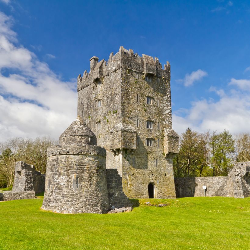 Enclosure in UrraghryEnclosure · 197 yd
 Urraghry HillMountain / peak · 446 yd
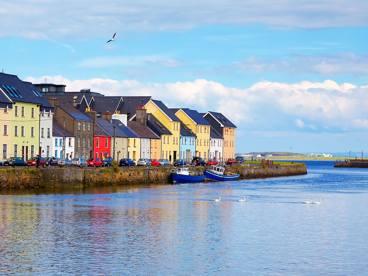 IndicatedFairy fort / earthen ringfort · 547 yd
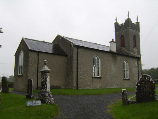 Saint Matthew's Church (Clontuskert)church/chapel · 1132 yd
 The bloody HollowHeritage attraction · 1.2 mi
 Battle of AughrimMajor battlefield · 1.5 mi
 West WoodWood · 1.5 mi
 Ballagh Castle (in Ruins)Castle, unclassified · 1.5 mi
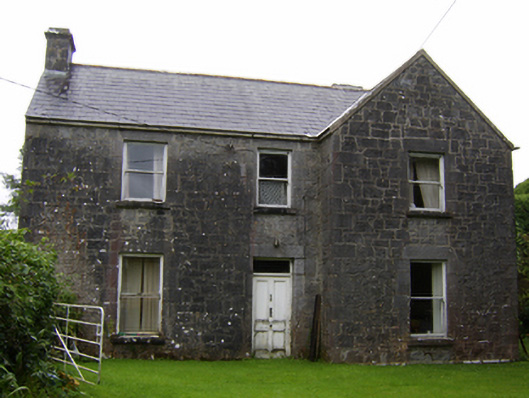 Rosglosshouse · 1.5 mi
 Castle (Site of)Castle, Anglo-Norman masonry castle · 1.7 mi
 Battle of Aughrim Interpretative CentreMuseum · 1.7 mi
 Oak WoodWood · 2.5 mi