What is recorded here
Urraghry Hill carries a circular rath about thirty metres across, marked by two overgrown banks and a narrow ditch. The grassland rolls around the stones, softening the edge of a place where people may have lived, hidden or watched the valley long before the hill took its present shape. The name invites fairy tale, but the earthwork speaks first: a made circle, still standing, still resisting forgetting.
On Urraghry Hill in undulating grassland. Circular rath (D c. 30m), in fair condition, defined by two very overgrown banks and an intervening fosse.
The above description is derived from the published 'Archaeological Inventory of County Galway Vol. II - North Galway'. Compiled by Olive Alcock, Kathy de hÓra and Paul Gosling (Dublin: Stationery Office, 1999).
Date of upload: 05 August 2010
The monument record does not grant public access. Check the route and ask the landowner before entering private land.
- What survives
- Recorded monument
Places near here
 Urraghry HillMountain / peak · 8 yd
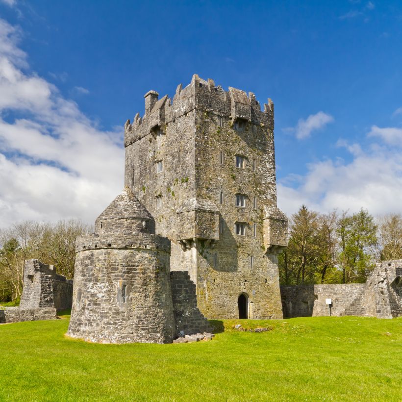 Enclosure in UrraghryEnclosure · 451 yd
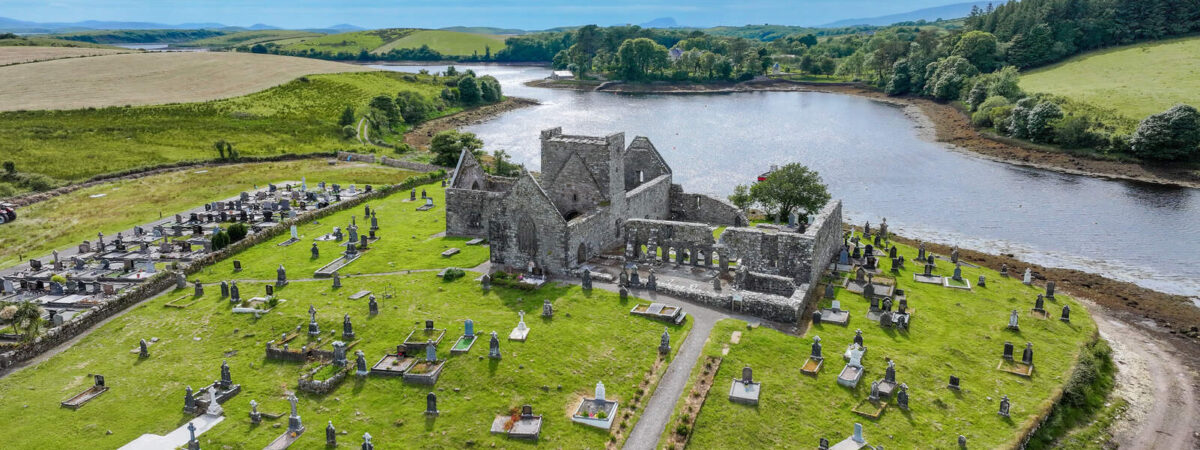 Caltragh FortEnclosure · 597 yd
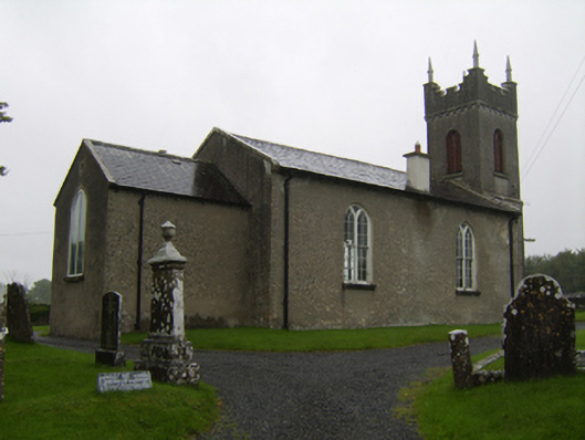 Saint Matthew's Church (Clontuskert)church/chapel · 1526 yd
 The bloody HollowHeritage attraction · 1.1 mi
 Battle of AughrimMajor battlefield · 1.3 mi
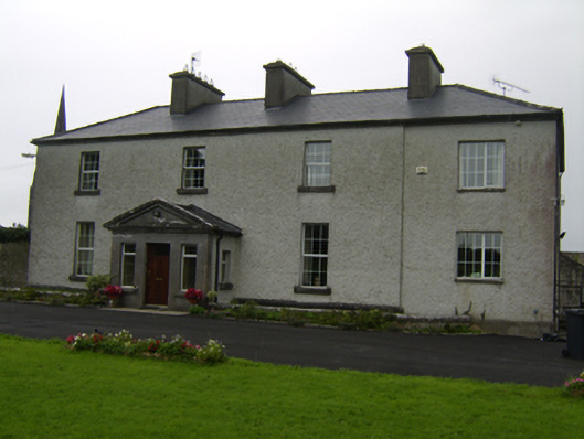 The Rectoryrectory/glebe/vicarage/curate's house · 1.4 mi
 West WoodWood · 1.4 mi
 Castle (Site of)Castle, Anglo-Norman masonry castle · 1.4 mi
 Battle of Aughrim Interpretative CentreMuseum · 1.5 mi
 Ballagh Castle (in Ruins)Castle, unclassified · 1.7 mi
 Oak WoodWood · 2.3 mi