What is recorded here
Situated in elevated gently undulating pasture. Depicted as a roughly circular enclosure (diam. c.25m) on the 1836-7 edition of the OS 6-inch map but not marked on the 1940-1 edition. The site has been levelled with no visible surface trace at ground level.
Compiled by: Patrick F. O'Donovan
Date of upload: 21 April 2011
The monument record does not grant public access. Check the route and ask the landowner before entering private land.
- What survives
- Recorded monument
Places near here
 Tober PatrickArchaeological place · 381 yd
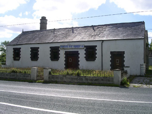 Drumcliffe Co-Operative Creamerycreamery · 430 yd
 Urlar Househouse · 472 yd
 Castle (in Ruins)Castle, unclassified · 719 yd
 Man-made underground passageFairy fort / earthen ringfort · 1451 yd
 Floods WoodForest · 1474 yd
 CastleCastle, unclassified · 1.2 mi
 Grave of WB YeatsHeritage attraction · 1.2 mi
 Drumcliff CemeteryGraveyard · 1.2 mi
 Paddy McGowan's WoodWood · 1.6 mi
 Kings MountainMountain / peak · 1.8 mi
 BenbulbinMountain / peak · 1.8 mi