What is recorded here
Fairy fort in Tullanvoolty, County Kilkenny: an oval ringfort, roughly 26 by 22 metres, set at the end of a ridge above the River Goul flood-plain. By 1987 only about a metre-high bank remained visible in the north-west sector, with faint traces of an outer ditch, while trees had closed over most of the enclosure. The place still feels like a hidden chamber, half-swallowed by growth, watching the water below.
At the end of a ridge immediately above the flood-plain of the River Goul, with good views in all directions. Depicted on the 1900 ed. OS 6-inch map as an oval enclosure (dims. c. 26m NW-SE; c. 22m NE-SW). When inspected in 1987 only the bank (H c. 1m) in the NW sector (chord c. 15-20m) was visible, with very slight traces of an external fosse. The monument is heavily overgrown with trees.
Compiled by: Jean Farrelly
Date of upload: 4 October 2017
The monument record does not grant public access. Check the route and ask the landowner before entering private land.
- What survives
- Recorded monument
Places near here
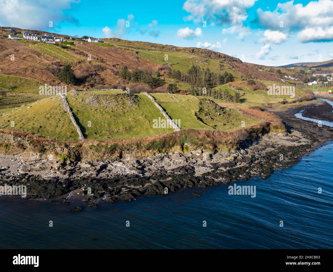 Baunballinlough RingfortArchaeological place · 384 yd
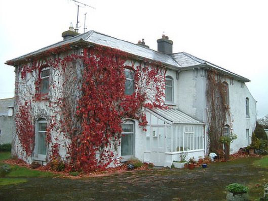 Tullanvoolty Housefarm house · 841 yd
 Grangefertagh Castle (site)Archaeological place · 847 yd
 Templegal Church (in ruins)Church · 1353 yd
 Burial GroundGraveyard · 1356 yd
 Foulkscourt castle (in ruins)Castle, tower house · 1.4 mi
 Cnoc SeanrathaMemorial · 1.8 mi
 DelaneyMemorial · 2.0 mi
 Street fieldArchaeological place · 2.1 mi
 Clomantagh HillMountain / peak · 3.5 mi
 Anker's IslandIsland · 9.0 mi
 European ashEuropean ash · 12 mi