What is recorded here
Ros Dumhach holds a forgotten ringfort, its earthworks softened by centuries but still distinct enough to mark human presence. The site belongs to an older layer of Mayo life, when fortified settlements anchored daily routine and seasonal change. Its exact purpose has faded, yet the shape remains: a boundary drawn in soil, likely built to keep out rain, danger or simply the unknown.
The Archaeological Survey of Ireland (ASI) is in the process of providing information on all monuments on The Historic Environment Viewer (HEV). Currently the information for this record has not been uploaded. To access available information for research purposes please make an appointment in advance with the Archive Unit (open Fridays 10.00 am – 5.00 pm), Department of Housing, Local Government and Heritage, The Custom House, Dublin 1 D01W6XO or email NMarchive@housing.gov.ie.
The monument record does not grant public access. Check the route and ask the landowner before entering private land.
- What survives
- Recorded monument
Places near here
 Glengad BeachBeach / strand · 1277 yd
 Enclosure in Ros DumhachEnclosure · 1543 yd
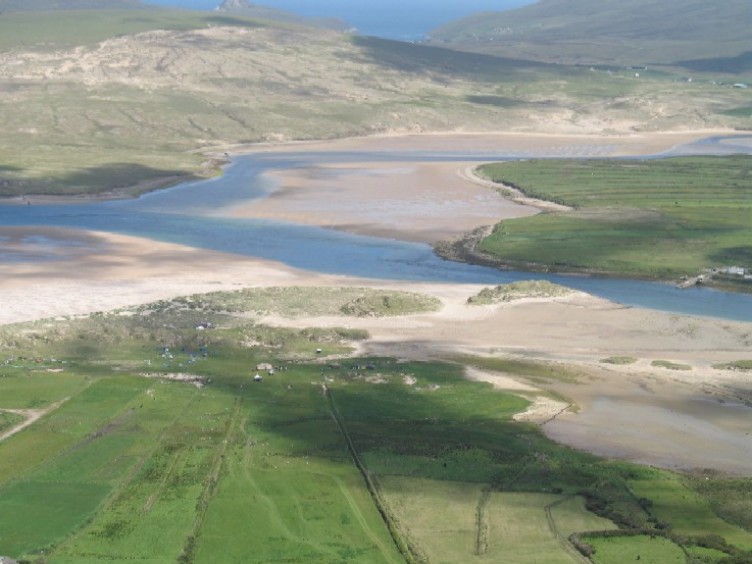 Sruth Fada ConBay · 1.3 mi
 O Galligans ChurchChurch · 1.4 mi
 Catholic Church of Our Lady Star of the Seachurch/chapel · 1.6 mi
 Promontory fortPromontory fort, coastal · 1.7 mi
 Barr na CoilleadhMountain / peak · 1.7 mi
 Site of CastleCastle, unclassified · 1.9 mi
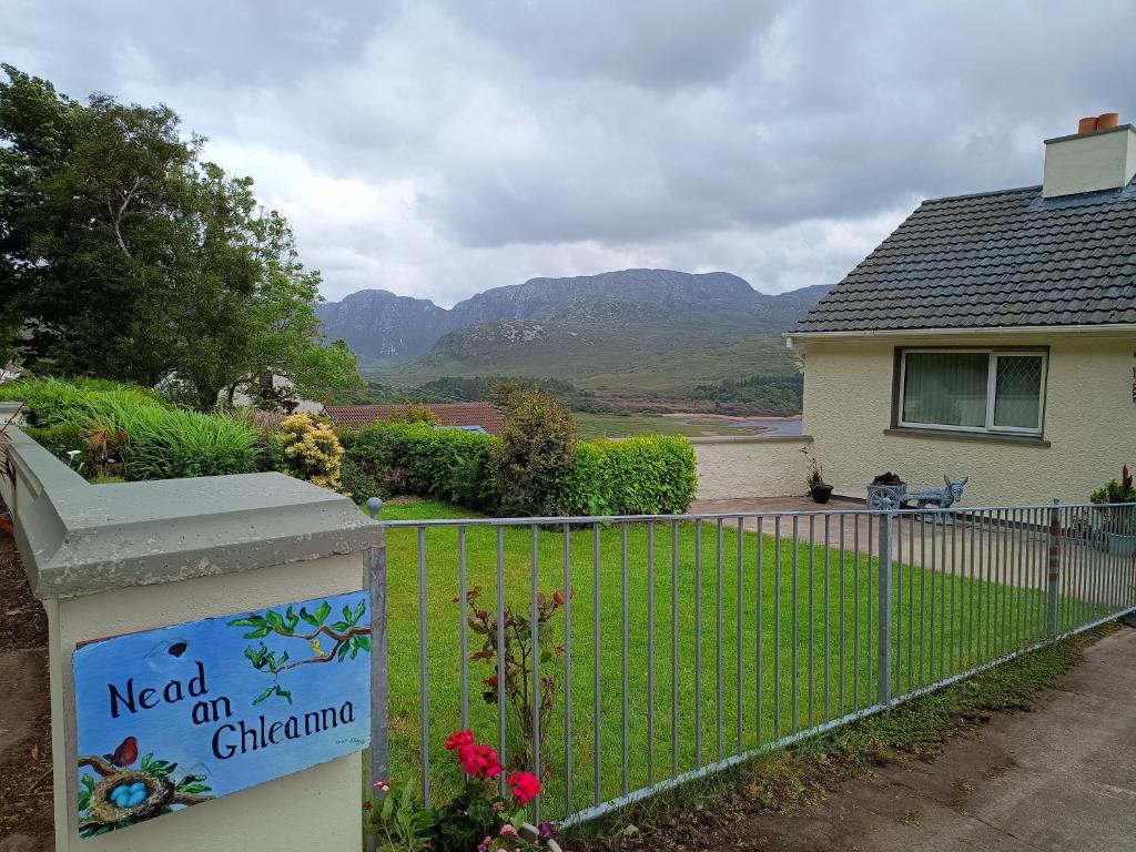 Rinn an GhleannaHeadland · 2.9 mi
 An Bhinn BhuíMountain / peak · 3.2 mi
 Oileán na MuiceIslet · 4.4 mi
 Site of Myles Barretts CastleCastle, unclassified · 4.6 mi