
What is recorded here
In a graveyard (MA004-006002-). This church is named ‘O Galligans Church’ on the 1838 OS 6-inch map, although no structure is indicated within the graveyard, shown as a circular enclosure (diam. c. 35-40m. On the 1921 edition, a cross-symbol, annotated ‘O’Galligan’s Church (Site of)’, is shown in the NE corner of the graveyard, which at this stage had expanded to a subrectangular walled area. No remains are now visible of the church, but it appears to have been located at or close to a grass-covered stony mound (MA004-006003-) in the NE corner of the graveyard.
Compiled by: Jane O'Shaughnessy
Date of upload: 12 September 2017
A local church or high cross; wider significance not recorded.
The monument record does not grant public access. Check the route and ask the landowner before entering private land.
- What survives
- Recorded monument
Places near here
 Site of CastleCastle, unclassified · 1534 yd
 Glengad BeachBeach / strand · 1.4 mi
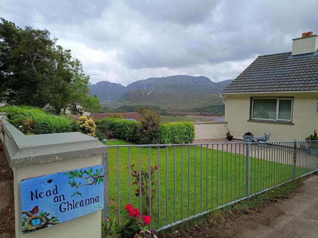 Rinn an GhleannaHeadland · 1.4 mi
 Promontory fortPromontory fort, coastal · 1.7 mi
 Enclosure in Ros DumhachEnclosure · 2.1 mi
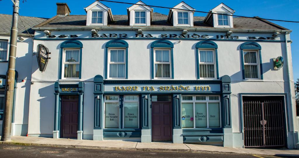 Barr na CoilleadhMountain / peak · 2.2 mi
 An Bhinn BhuíMountain / peak · 2.4 mi
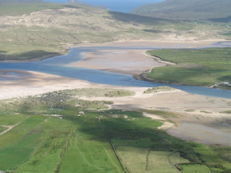 Sruth Fada ConBay · 2.6 mi
 Portacloy Signal TowerRuins · 2.8 mi
 Church (in Ruins)Church · 2.8 mi
 Site of Myles Barretts CastleCastle, unclassified · 4.3 mi
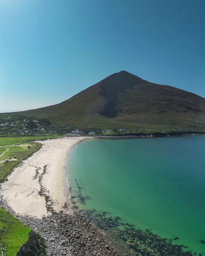 Portnacully BeachBeach / strand · 4.4 mi
Other information
Photo: Credit not shown in the picture search · Rights wording not checked; contact us if this picture should be removed