What is recorded here
Unlocated ringfort within this townland that was recorded in the Ordnance Survey Letters of 1838-40 as in the 'townland of Rathmore is an ancient partly destroyed rath of great dimensions' (O'Flanagan 1928, 95).
Date of upload: 29 September 2012
A local fairy fort (ringfort/rath) in Rathmore, likely dating to the early medieval period, was noted in the 1838–40 Ordnance Survey Letters as a "partly destroyed rath of great dimensions." Local tradition, as recorded by O'Flanagan, associates such sites with supernatural or fairy activity, reflecting their common role in Irish folklore.
The monument record does not grant public access. Check the route and ask the landowner before entering private land.
- What survives
- Recorded monument
Places near here
 Enclosure in KilloughterEnclosure · 765 yd
 Enclosure in RathmoreEnclosure · 774 yd
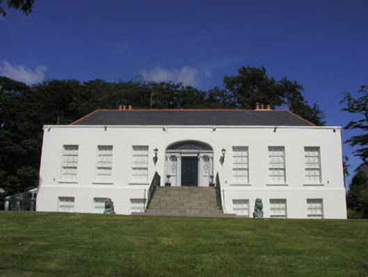 Killoughter Housecountry house · 831 yd
 Church (in Ruins)Church · 1263 yd
 CastleCastle, ringwork · 1.1 mi
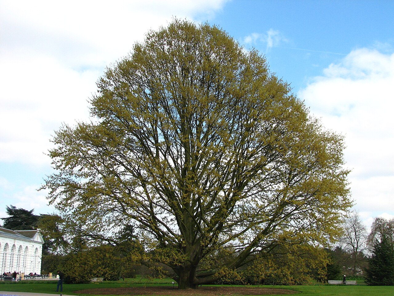 Chestnut-leaved OakChestnut-leaved Oak · 2.0 mi
 American SweetgumAmerican Sweetgum · 2.0 mi
 Castle (in Ruins)Castle, ringwork · 2.7 mi
 Devil's Glen WaterfallWaterfall · 3.4 mi
 Leamore StrandBeach / strand · 3.9 mi
 Carrick MountainMountain / peak · 4.8 mi
 Glen Beach Cliff WalkWalking route · 5.4 mi