What is recorded here
Listed as a 'ringfort' in the SMR (1986) based on documentary evidence (O'Donovan 1838-40, 175/176) which mentions 'a small defaced Rath on the South boundary from which it is presumed the Td. took its name.' Not located.
Compiled by: Matt Kelleher
Date of upload: 09 January 2013
The monument record does not grant public access. Check the route and ask the landowner before entering private land.
- What survives
- Recorded monument
Places near here
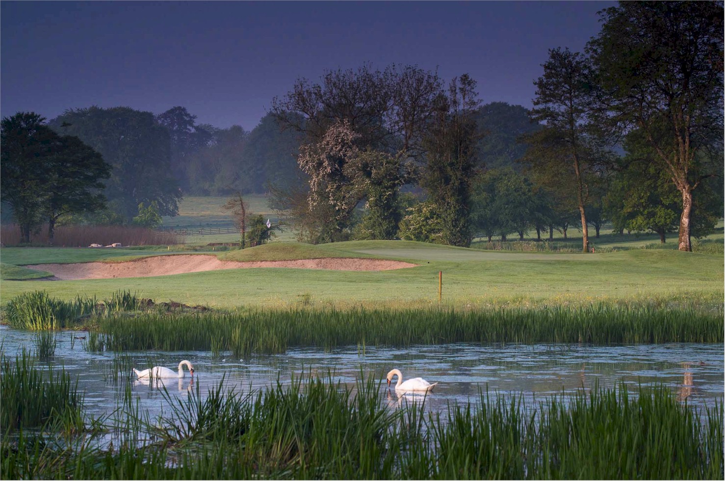 Enclosure in RathsallaghEnclosure · 592 yd
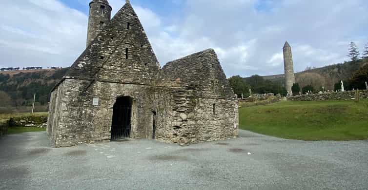 Enclosure in Tornant LowerEnclosure · 668 yd
 Site of Fair GreenForest · 1170 yd
 CastleCastle, unclassified · 1427 yd
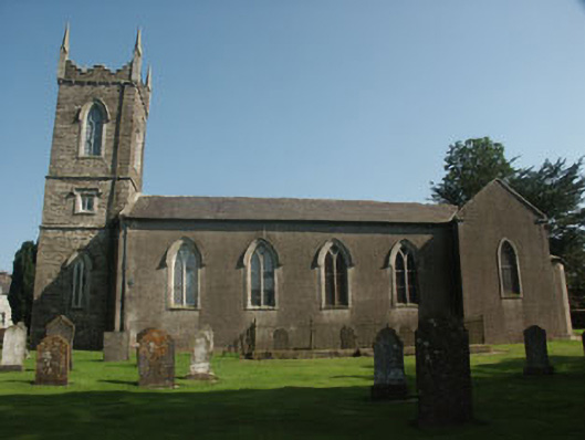 Saint Nicholas's Church (Dunlavin)church/chapel · 1583 yd
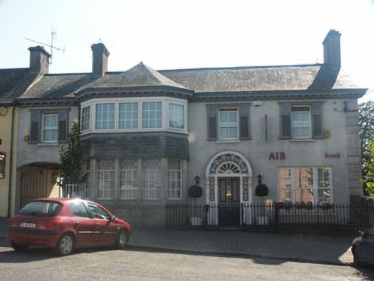 Bank Househouse · 1625 yd
 Memorial to 1798 rebellionMonument · 1658 yd
 Castle (in Ruins)House, fortified house · 1.9 mi
 HawthornHawthorn · 2.6 mi
 Ballyhook HillMountain / peak · 3.8 mi
 Burial ground in CrehelpBurial ground · 4.0 mi
 Saint Kevin's CaveMemorial · 5.7 mi