What is recorded here
Situated on NE facing slope of a slight rise, surrounded by gently undulating grassland. Ecclesiastical enclosure (WM012-086002-), Portnashangan Church (WM012-086---) and graveyard (WM012-086001-) 60m to W. Depicted on the 1837 ed. OS Fair Plan map as a circular shaped enclosure and annotated ‘fort’. On the 1911 ed. OS 25-inch map the monument is depicted as an irregular shaped earthwork (approx. diam. 60m E-W; 50m N-S) intersected by field boundary at E. No surface remains visible of levelled monument. Faint crop mark of levelled monument visible on Digital Globe aerial photographs taken November 2011.
Compiled by: Frank Coyne and Caimin O'Brien
Date of upload: 16 February 2018
The monument record does not grant public access. Check the route and ask the landowner before entering private land.
- What survives
- Recorded monument
Places near here
 ‘Abbey’Church · 114 yd
 CastleCastle, motte · 237 yd
 OutlinedFairy fort / earthen ringfort · 324 yd
 IndicatedFairy fort / earthen ringfort · 463 yd
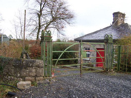 Ardilaun Houselevel crossing, gates/railings/walls · 620 yd
 Scragh Bog Nature ReserveNature reserve · 1.0 mi
 Church IslandIsland · 1.4 mi
 Carrickphilbin IslandIslet · 1.7 mi
 Nugent's CastleCastle · 1.9 mi
 Lady's IslandWood · 1.9 mi
 Bridge Memorial (Kenna)Memorial · 2.8 mi
 Saint Brigid's WellSpring · 2.9 mi