What is recorded here
Porterstown church car park now covers a levelled ringfort, whose round ditch still holds scattered animal bone beneath modern asphalt. Children run across the buried eastern entrance while adults park above the oldest boundary in the area, unaware that Bronze Age hands may have first marked the same ground. The fort has not disappeared; it has been flattened into the ordinary rhythm of the town, waiting beneath footpaths and wheels for someone to remember its shape.
An aerial photograph (CUCAP, AVS 30) shows cropmark evidence for a roughly circular enclosure (diam. c. 40m). This site was partially excavated in 1990 prior to the development of Porterstown church car park (Cotter 1991, 27). The fosse visible on the aerial photograph was located. It was round-bottomed (Wth 2.5-3m; D 1.25m) and the fill was sterile except for some animal bone. Possible evidence for an opening in the east was detected. Overall, the archaeological remains indicate that the site is a levelled ringfort. A gully and some post-holes which produced a sherd of Bronze Age pottery indicate that there was earlier activity at the site.
The site was subject to geophysical survey (Licence no. 06R180) which defined the extent of the ringfor, the eastern limit of which, extends under the playing pitches that adjoin the carpark (Krahn 2006). A sports club had been constructed further south, being accessed by a pathway that traverses the site. It is unknown if insertion of services had any effect.
Compiled by: Geraldine Stout
Updated by: Christine Baker
Date of upload: 29 January 2015
The monument record does not grant public access. Check the route and ask the landowner before entering private land.
- What survives
- Recorded monument
Places near here
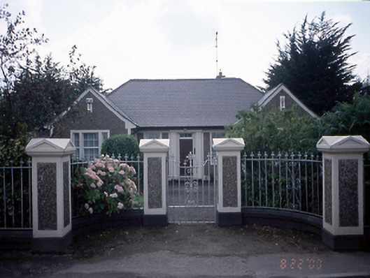 Saint Mochta's Catholic Churchpresbytery/parochial/curate's house · 52 yd
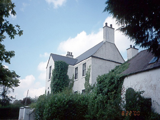 Annfield Househouse · 245 yd
 Burial ground in Astagob (castleknock By., Castleknock Ed)Burial ground · 669 yd
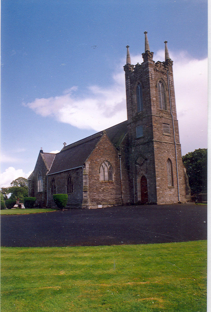 IndicatedFairy fort / ringfort · 691 yd
 Rabbit WarrenWood · 760 yd
 Giant SequoiaGiant Sequoia · 1076 yd
 CastleCastle, unclassified · 1748 yd
 Church, GraveyardChurch · 1.2 mi
 Castleknock CastleCastle · 1.5 mi
 Blanchardstown Centre information deskVisitor information · 1.6 mi
 Graveyard in Palmerstown LowerGraveyard · 2.0 mi
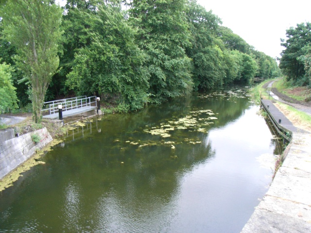 The Royal Canal WayWalking route · 2.0 mi