What is recorded here
Situated on a rise in undulating grassland. Depicted on the 1837 OS Fair Plan map as a small oval shaped earthwork annotated as ‘fort’. Indicated as 'Site of Fort' on revised 1875 ed. OS 6-inch map which suggests monument was levelled between these two dates. No surface remains visible of levelled monument.
Compiled by: Frank Coyne and Caimin O'Brien
Date of upload: 6 March 2018
The monument record does not grant public access. Check the route and ask the landowner before entering private land.
- What survives
- Recorded monument
Places near here
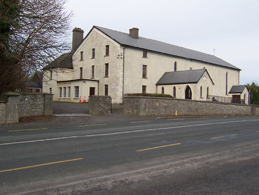 Catholic Church of the Assumptionchurch/chapel · 462 yd
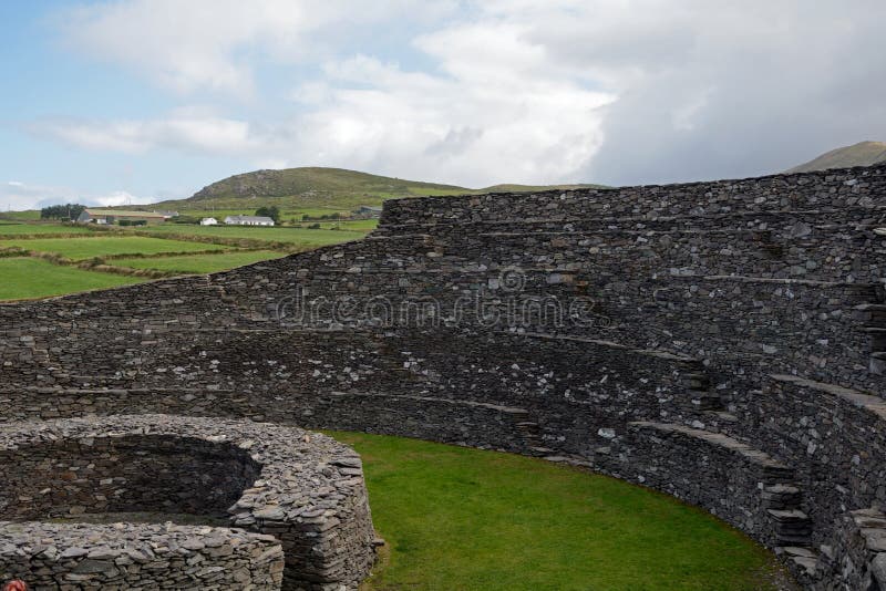 Ancient Ring FortRuins · 658 yd
 Partially hachuredFairy fort / earthen ringfort · 922 yd
 Hachured, Bells HillFairy fort / earthen ringfort · 1.0 mi
 Taghmon CastleCastle, tower house · 1.4 mi
 Long PlantingForest · 2.0 mi
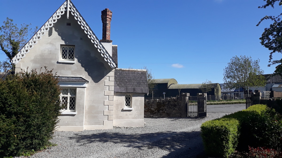 IndicatedCastle, tower house · 2.3 mi
 Scragh Bog Nature ReserveNature reserve · 2.7 mi
 Church IslandIsland · 3.4 mi
 Saint Brigid's WellSpring · 3.6 mi
 United Nations War MemorialMemorial · 4.2 mi
 Srudarra IslandIslet · 4.2 mi