What is recorded here
Mnemo requires clear evidence for this exact request. Clear evidence is missing. Therefore I will not invent the answer.
Cropmark of circular-shaped bivallate enclosure (approx. int. diam. 26m; overall ext. diam. 48m) visible on Digital Globe aerial photograph taken 28/06/2018.
See attached image of Google Earth photograph taken 28/06/2018 which shows cropmark of the enclosure based on information supplied by Anthony Murphy
Compiled by: Caimin O'Brien based on details kindly provided by Anthony Murphy
Date of upload: 19 February 2019
The monument record does not grant public access. Check the route and ask the landowner before entering private land.
- What survives
- Recorded monument
Places near here
 Enclosure in OldtowndonoreEnclosure · 267 yd
 EnclosureEnclosure, large enclosure · 669 yd
 Museum of MotorsportMuseum · 1.1 mi
 Catholic Church of Our Lady and Saint Josephchurch/chapel · 1.1 mi
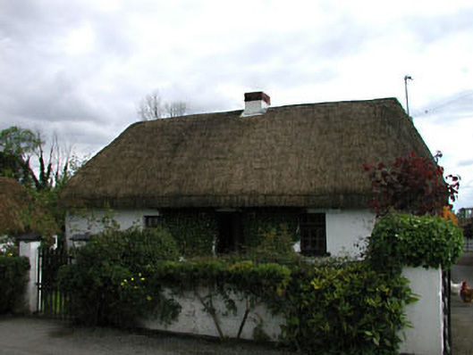 farm housefarm house · 1.3 mi
 Grand Canal WayVisitor information · 2.9 mi
 Kilmeague CastleRuins · 3.3 mi
 Sarsfield Castle (Site of)Castle, unclassified · 3.7 mi
 Naas ParkWood · 4.4 mi
 Monread District Park WoodsWood · 4.4 mi
 Hill of AllenMountain / peak · 4.4 mi
 Bithia Mary CrokerMemorial · 9.9 mi