What is recorded here
Fairy forts hide in plain sight, waiting for rain or hunger to reveal their edges. This one sleeps beneath a ordinary field west of Newtown Cottages, its double ditches and radiating cuts visible only when crops grow uneven or satellites pass overhead. People may have lived, fenced and forgotten the place centuries ago, leaving behind a circle large enough for a small world. The absence of walls does not mean absence of life; it means the land stopped performing for visitors and continued keeping its own shape.
Situated in a field north of the Broadmeadow River immediately west of Newtown Cottages. A vertical aerial photograph taken by the OS in 1992 (OS 8, 1526) shows a cropmark of a double-ditched, subcircular enclosure (ext. diam. c. 40m) with ditches radiating from the NE and SE quadrants. This is possibly a levelled, bivallate ringfort with associated field system. Not visible at ground level.
Compiled by: Geraldine Stout
Updated by: Christine Baker
Date of upload: 09 January 2015
The monument record does not grant public access. Check the route and ask the landowner before entering private land.
- What survives
- Recorded monument
Places near here
 Enclosure in Newtown (nethercross By.)Enclosure · 381 yd
 Ring-ditch in HolybanksRing-ditch · 412 yd
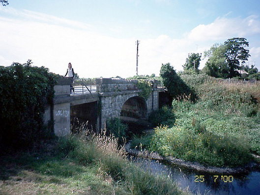 Newtown Bridgebridge · 614 yd
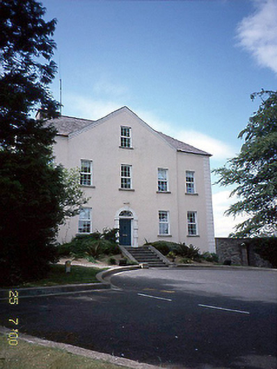 Newtown Housecountry house · 663 yd
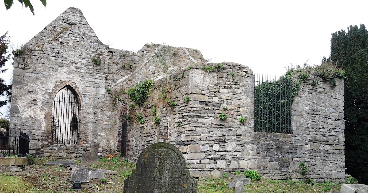 CastleCastle, tower house · 1338 yd
 St Cronans WellSpring · 1747 yd
 Fingal Tourism OfficeVisitor information · 1.1 mi
 Tower (in ruins), Castle and ChapelCastle, Anglo-Norman masonry castle · 1.1 mi
 Swords Round TowerHeritage attraction · 1.2 mi
 St Colmcilles WellVisitor information · 1.3 mi
 The JackoWood · 1.3 mi
 Kim Archibold MemorialMemorial · 1.3 mi