What is recorded here
Situated on a slight rise, in gently undulating pasture. Ringfort (WM027-004----) lies c. 125m to SW. Depicted as a circular-shaped earthwork on the Longford Estate map 1813 and on the 1837 OS Fair Plan map as a subtriangular-shaped tree-lined enclosure, annotated ‘Fort’. Depicted on the revised 1913 ed. OS 25-inch map as a roughly oval-shaped bivallate earthwork. Levelled monument described in 1971 as no surface remains visible. Boulders set against the modern field boundary to SE may have belonged to the levelled monument. The site would have been suitable for a ringfort. Site of ringfort now lies beneath the roundabout at the N4 Junction 14.
Compiled by Alison McQueen, Vera Rahilly and Caimin O’Brien.
Date of upload: 04 November 2019
The monument record does not grant public access. Check the route and ask the landowner before entering private land.
- What survives
- Recorded monument
Places near here
 Woodfordhouse · 286 yd
 Enclosure in NewdownEnclosure · 558 yd
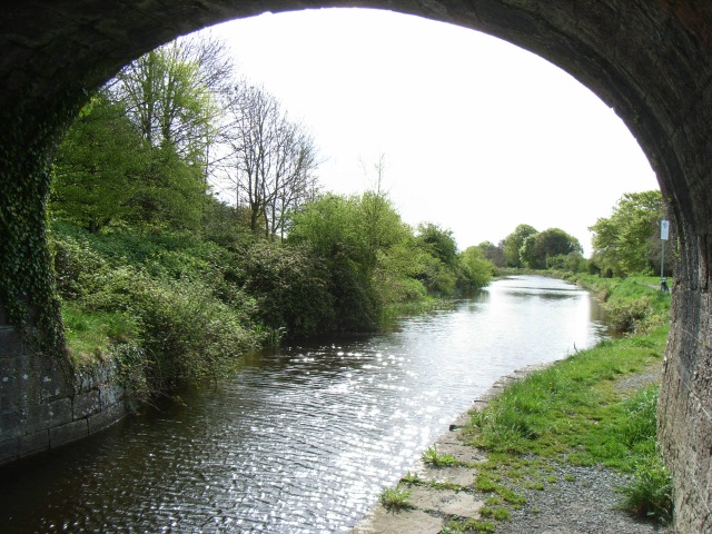 bridgebridge · 933 yd
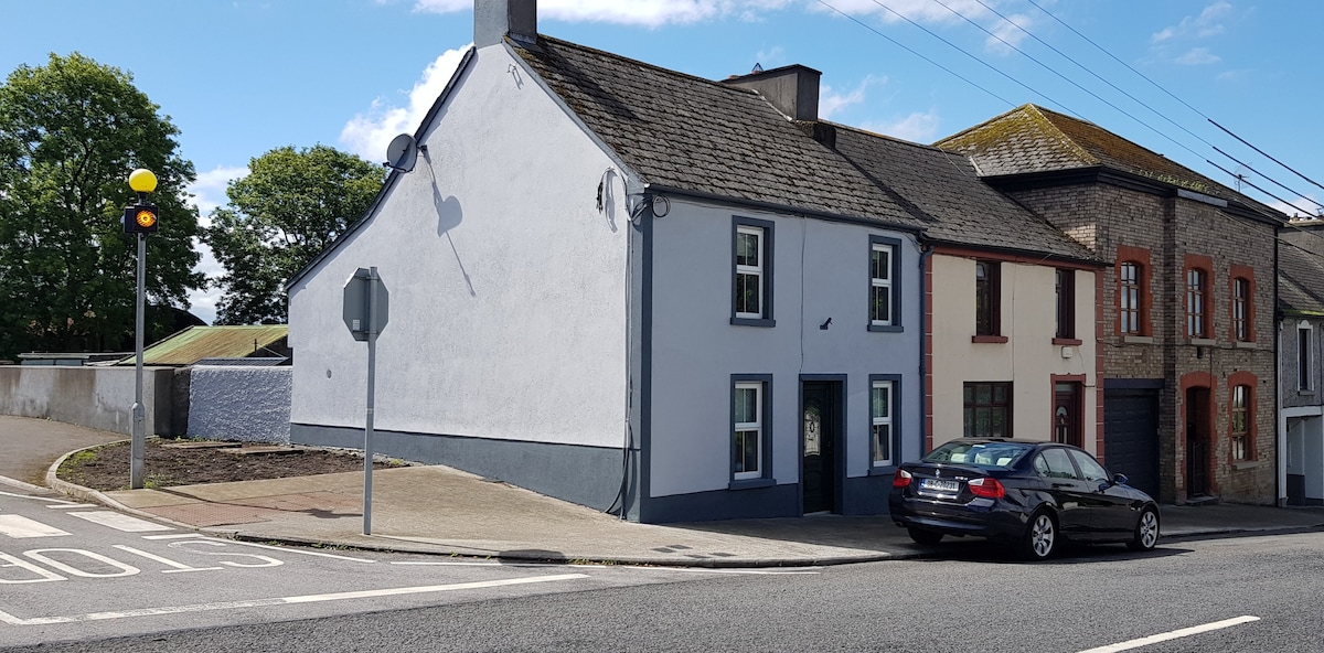 Partially hachuredFairy fort / earthen ringfort · 1.6 mi
 CastleCastle, unclassified · 1.7 mi
 Heathstown CastleCastle, tower house · 1.8 mi
 United Nations War MemorialMemorial · 5.4 mi
 GinkgoGinkgo · 5.7 mi
 Saint Brigid's WellSpring · 5.9 mi
 Long PlantingForest · 6.1 mi
 Croppies' GraveMemorial · 11 mi
 level crossinglevel crossing · 989 yd