What is recorded here
An earthwork enclosure is depicted on McCrea’s map of Co. Monaghan (1793) at Mullanarry. The location is not certain, but it was N of Mullinarry Street.
Date of revised upload: 27 July 2017
The monument record does not grant public access. Check the route and ask the landowner before entering private land.
- What survives
- Recorded monument
Places near here
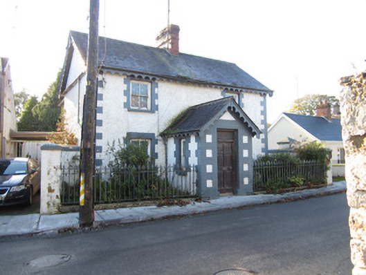 Rose Villahouse · 337 yd
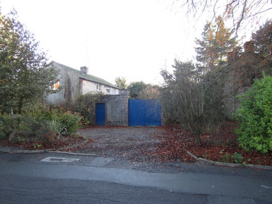 stablesstables · 374 yd
 Tober InverHoly well · 587 yd
 CrossCross, Churchyard cross · 600 yd
 Horse-chestnutHorse-chestnut · 775 yd
 European BeechEuropean Beech · 1172 yd
 Mannan Castle (in ruins)Castle, Anglo-Norman masonry castle · 2.6 mi
 TobernagalliaghSpring · 3.3 mi
 Drumerlough MoreMountain / peak · 4.0 mi
 Flat cemetery in AnnaheanFlat cemetery · 4.6 mi
 BarleyhillMountain / peak · 4.7 mi
 Natural Play AreaMemorial · 4.7 mi