What is recorded here
Moyvoon East is a flat pasture where a vanished circular enclosure once stood about thirty-five metres across. No wall, ditch or stone still marks the place, but the forgotten shape suggests people lived there before the grass consumed the evidence. The land keeps the fort hidden rather than lost, waiting for someone to imagine the doors, fires and ordinary days inside its missing ring.
In flat pastureland. Marked on 1st ed. of OS 6-inch map as a circular enclosure (D c. 35m). No visible surface trace survives.
The above description is derived from the published 'Archaeological Inventory of County Galway Vol. I - West Galway'. Compiled by Paul Gosling (Dublin: Stationery Office, 1993).
Date of upload: 05 August 2010
The monument record does not grant public access. Check the route and ask the landowner before entering private land.
- What survives
- Recorded monument
Places near here
 Ecclesiastical enclosure in LaghtgannonEcclesiastical enclosure · 625 yd
 Aughnanure Castle (in ruins)Castle, tower house · 961 yd
 Chapel (Site of)Chapel · 1342 yd
 Church in ruinsChurch · 1.0 mi
 Ardvarna Househouse · 1.4 mi
 Owenriff WayWalking route · 1.8 mi
 CastleCastle, unclassified · 1.9 mi
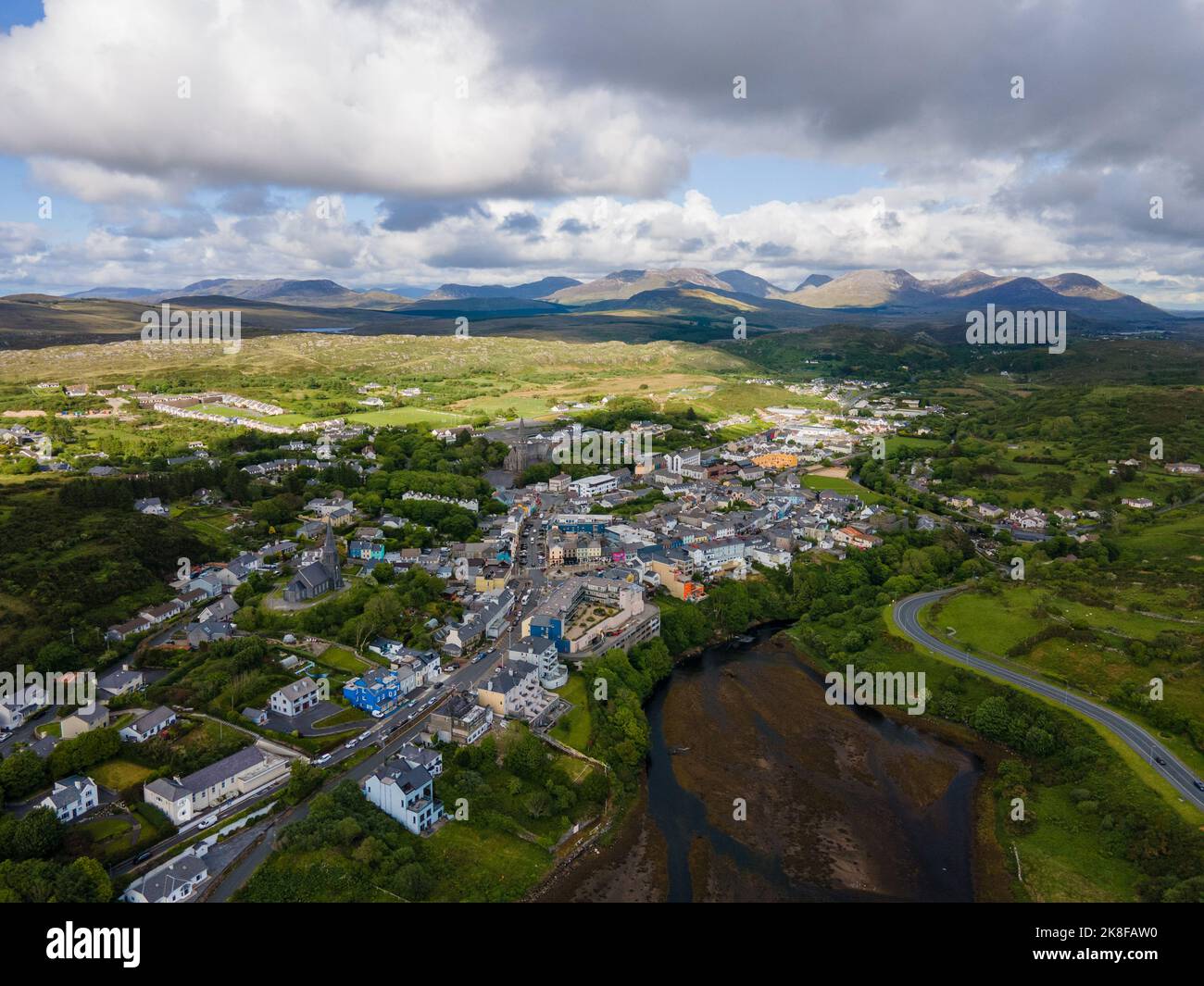 SnahadaunIslet · 1.9 mi
 IllauncarbryIslet · 2.0 mi
 Annagh WoodWood · 3.4 mi
 Brigit's GardenHeritage attraction · 3.6 mi
 Glengowla Mines MuseumMuseum · 3.6 mi