What is recorded here
Located on a slight ENE-WSW ridge. The cropmark of a D-shaped area (dims. c. 35m NW-SE; c. 30m NE-SW) defined by a single feature that may have been a bank and which is truncated by a NE-SW field bank at NW is visible on aerial photograph (CUCAP, BDR 24). It is not visible at ground level in a harvested cereal crop.
The above description is derived from the published 'Archaeological Inventory of County Wexford' (Dublin: Stationery Office, 1996). In certain instances the entries have been revised and updated in the light of recent research.
Compiled by: Michael Moore
Date of upload/revision: 18 July 2012
The monument record does not grant public access. Check the route and ask the landowner before entering private land.
- What survives
- Recorded monument
Places near here
 IndicatedEnclosure · 619 yd
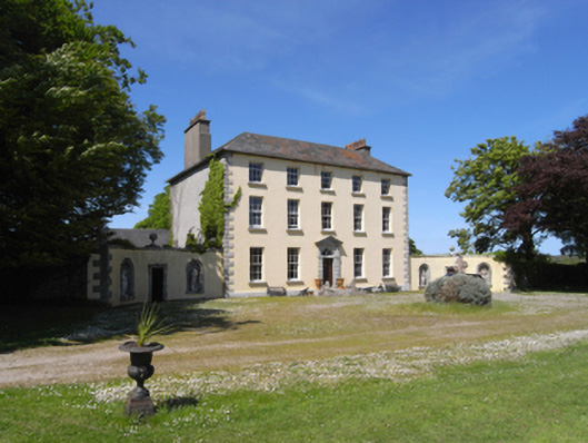 Castle Talbotcountry house · 776 yd
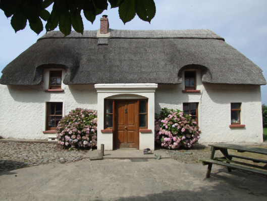 farm housefarm house · 878 yd
 Castle Talbot (in ruins)Structure · 1087 yd
 1798 Insurrection MemorialMemorial · 1448 yd
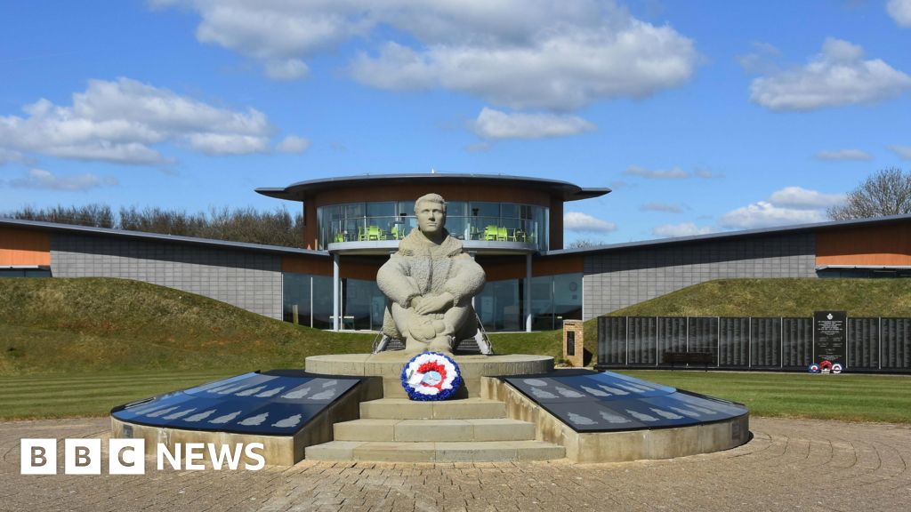 Memorial to The PomonaMemorial · 1629 yd
 Ballingowan MoteCastle, motte · 1.4 mi
 71Mountain / peak · 1.8 mi
 Blackwater Coastal Erosion Monitoring PointViewpoint · 2.1 mi
 Tinnaberna BeachBeach / strand · 3.4 mi
 CastleCastle, unclassified · 3.5 mi
 Battle of Oulart Hill signVisitor information · 4.2 mi