What is recorded here
Manuslynn holds a thirty-six metre cashel where collapsed drystone and ordinary field wall combine to trap human life inside a circular border. A fourteen metre internal bank still divides the middle, suggesting the site separated people, property or ritual rather than merely excluding livestock. The names fairy fort and ringfort both point to the same uncertain shape, preserving the fact that its true function has faded while its structure remains visible in scrubland and rock.
In scrubland and rock outcrop. Almost circular cashel (D c. 36m) defined by a collapsed drystone wall from NW through N to SE. A field wall forms the enclosing element elsewhere. Within the interior, a bank of earth and stone (L 14.4m), long axis running N-S , is possibly the remains of an internal division.
The above description is derived from the published 'Archaeological Inventory of County Galway Vol. II - North Galway'. Compiled by Olive Alcock, Kathy de hÓra and Paul Gosling (Dublin: Stationery Office, 1999).
Date of upload: 05 August 2010
The monument record does not grant public access. Check the route and ask the landowner before entering private land.
- What survives
- Recorded monument
Places near here
 IndicatedEnclosure · 889 yd
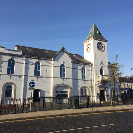 Man-made underground passage in BallycaseyMan-made underground passage · 1248 yd
 Kilcoona Round TowerHeritage attraction · 1413 yd
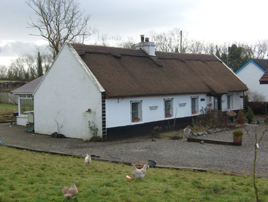 The Thatchhouse · 1.5 mi
 Castlehacket National Schoolschool · 1.6 mi
 Site of CastleCastle, unclassified · 1.9 mi
 Castle in ruinsCastle, tower house · 2.2 mi
 KnockmaaWood · 3.0 mi
 Ballinduff BayBay · 3.2 mi
 Walsh's IslandIslet · 4.5 mi
 Cúil DiarmuidWood · 4.8 mi
 Ross Errilly FriaryHeritage attraction · 5.1 mi