What is recorded here
Quarrying bit into the east side of a 31-metre circular rath, but a shallow ditch still marks the NE, E and SE edge beside Loughbown. The ESE gap is wide enough for a cart or a fleeing person, while field banks bury the west side under ordinary farm life. Near another ringfort, the place may have been a neighbour, a refuge or a boundary marker rather than a grand hall.
Circa 100m SE of a ringfort (GA087-170----). Poorly preserved overgrown circular rath (D 31m) defined by a degraded bank and shallow external fosse; the latter survives from NE through E to SE. A gap (Wth 6.5m) at ESE could be original. From SW through W to NW, a field bank overlies the enclosing elements. Quarrying has encroached upon the monument at E.
The above description is derived from the published 'Archaeological Inventory of County Galway Vol. II - North Galway'. Compiled by Olive Alcock, Kathy de hÓra and Paul Gosling (Dublin: Stationery Office, 1999).
Date of upload: 05 August 2010
The monument record does not grant public access. Check the route and ask the landowner before entering private land.
- What survives
- Recorded monument
Places near here
 West WoodWood · 507 yd
 Enclosure in Garbally Demesne,loughbownEnclosure · 715 yd
 IndicatedChurch · 942 yd
 St. Grellans WellHoly well · 1263 yd
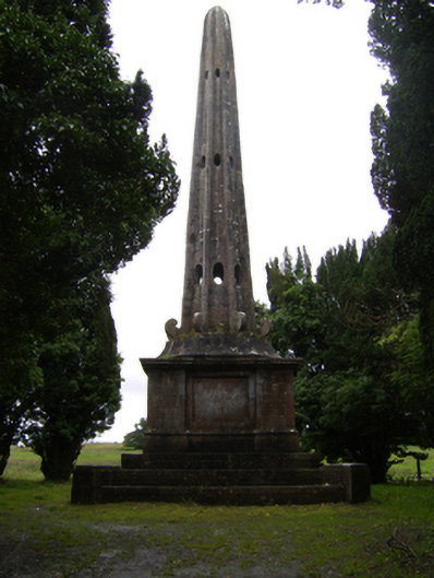 Garballyobelisk · 1635 yd
 Urraghry HillMountain / peak · 1.2 mi
 Castle (Site of)Castle, Anglo-Norman masonry castle · 2.0 mi
 The bloody HollowHeritage attraction · 2.2 mi
 Battle of Aughrim Interpretative CentreMuseum · 2.2 mi
 Battle of AughrimMajor battlefield · 2.3 mi
 Oak WoodWood · 2.5 mi
 Bawn in Townparks (moycarn By. - Ballinasloe)Bawn · 2.6 mi