What is recorded here
Loughbown holds two ringforts, one a hundred metres from the other, as if people wanted neighbours but not walls between them. The larger circle measures twenty-six metres across, with two banks and a ditch between them, though a field boundary has cut through its eastern edge and grass has swallowed the rest. Stone still leans inside the inner bank, waiting to be seen. Perhaps one fort belonged to a family and the other to a foster-child, or perhaps the second was built after an argument no one remembered. The land keeps both shapes, even when people stop naming them.
On a hummock in undulating grassland. Poorly preserved overgrown circular ringfort (D 26m) defined by two banks and an intervening fosse, best preserved from SE through S to SW. Traces of stone revetment survive on the internal face of the inner bank. A field boundary cuts the monument at NE and SE, to E of which no trace of the fosse or outer bank survive. A ringfort (GA087-171----) lies c. 100m to SE.
The above description is derived from the published 'Archaeological Inventory of County Galway Vol. II - North Galway'. Compiled by Olive Alcock, Kathy de hÓra and Paul Gosling (Dublin: Stationery Office, 1999).
Date of upload: 05 August 2010
The monument record does not grant public access. Check the route and ask the landowner before entering private land.
- What survives
- Recorded monument
Places near here
 West WoodWood · 568 yd
 Enclosure in Garbally Demesne,loughbownEnclosure · 821 yd
 IndicatedChurch · 872 yd
 St. Grellans WellHoly well · 1209 yd
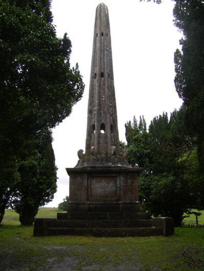 Garballyobelisk · 1692 yd
 Urraghry HillMountain / peak · 1.3 mi
 Castle (Site of)Castle, Anglo-Norman masonry castle · 1.9 mi
 Battle of Aughrim Interpretative CentreMuseum · 2.1 mi
 The bloody HollowHeritage attraction · 2.2 mi
 Battle of AughrimMajor battlefield · 2.3 mi
 Oak WoodWood · 2.5 mi
 Bawn in Townparks (moycarn By. - Ballinasloe)Bawn · 2.6 mi