What is recorded here
The 40-metre circular rath in Loughaunbrean stands on a marshy rise, its eastern gap and hidden north-western passage still visible beneath modern field banks. People may have entered through that gap, descended into the dark passage, and emerged elsewhere in the grassland, treating the fort as a threshold rather than an ordinary home.
On a rise in undulating marshy grassland. Circular rath (D 40m), in fair condition, defined by a bank overlain for the most part by field banks. A gap (Wth 2m) at E may be original. A Man-made underground passage (GA073-133001-) is located in NW quadrant of the interior.
The above description is derived from the published 'Archaeological Inventory of County Galway Vol. II - North Galway'. Compiled by Olive Alcock, Kathy de hÓra and Paul Gosling (Dublin: Stationery Office, 1999).
Date of upload: 05 August 2010
A circular early-medieval ringfort (rath) approximately 40 meters in diameter, situated on a rise in marshy grassland; it features a bank largely overlain by field banks, with a possible original eastern entrance. Local tradition associates such sites with fairy folk, and the presence of a man-made underground passage (GA073-) suggests additional historical or ritual significance.
The monument record does not grant public access. Check the route and ask the landowner before entering private land.
- What survives
- Recorded monument
Places near here
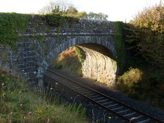 bridgebridge · 196 yd
 Monambraher FriaryReligious house, unclassified · 825 yd
 Enclosure in Carrowmanagh (kilconnell By.)Enclosure · 903 yd
 Man-made underground passage in Cartrondoogan (kilconnell Ed)Man-made underground passage · 1167 yd
 Kilconnell AbbeyHeritage attraction · 1549 yd
 Castle (in Ruins)Castle, unclassified · 1.0 mi
 Ballynabanaba CastleCastle, tower house · 1.5 mi
 Large-leaved LimeLarge-leaved Lime · 2.7 mi
 Western RedcedarWestern Redcedar · 3.1 mi
 Battle of Aughrim Interpretative CentreMuseum · 4.7 mi
 Battle of AughrimMajor battlefield · 5.3 mi
 The bloody HollowHeritage attraction · 5.5 mi