What is recorded here
Fairy fort / ringfort in Loughannacrannoge is a fairy fort or ringfort in Loughannacrannoge, County Sligo, Ireland. The site appears as a circular enclosure on the 1837 edition of the OS 6-inch map but has since been levelled. Remaining features include an oval area measuring 25 metres north-south and 21 metres east-west, with contiguously set boulders at the northwest that may be kerb remnants. A modern field boundary overlays part of the rise, while no fosse or original entrance remains visible.
Situated on a low rise in undulating pasture. Depicted as a circuclar enclosure on the 1837 edition of the OS 6-inch map. The site has been levelled. Remains comprise an oval area (dims. 25m N-S; 21m E-W) defined by a slight rise. At NW are a number of contiguously-set boulders which may be the remnants of a kerb. From SW-W-NW the rise is overlain by a modern N-S field boundary. No fosse. Original entrance not recognisable.
Compiled by: Patrick F. O'Donovan
Date of upload: 19 January 2011
The monument record does not grant public access. Check the route and ask the landowner before entering private land.
- What survives
- Recorded monument
Places near here
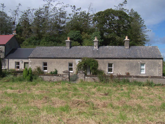 The Swallow Loftchurch/chapel · 342 yd
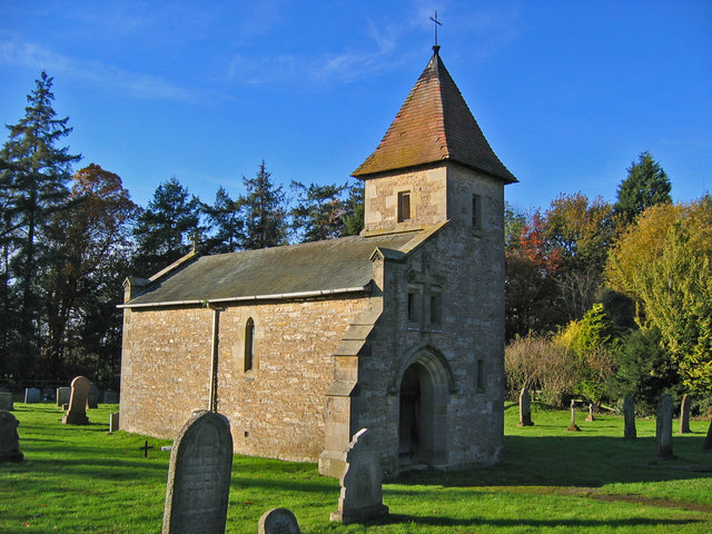 R. C. Chapel in ruinsChurch · 376 yd
 Enclosure in Longford DemesneEnclosure · 523 yd
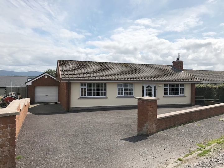 Hut site in BunnafediaHut site · 617 yd
 Bawn in Longford DemesneBawn · 937 yd
 European ashEuropean ash · 1223 yd
 Pigeonpark WoodForest · 1346 yd
 Giant's GraveArchaeological place · 1501 yd
 CastleCastle, ringwork · 1.7 mi
 Lahanacappul IslandIslet · 1.9 mi
 Ballinlig PointHeadland · 2.1 mi
 Portavaud PointHeadland · 2.2 mi