What is recorded here
Mortons and other humans may have lived inside the stone ring before quarrying scarred its edges, while local legend still points to a hidden cave beneath the grass. The fort stands on a small hillock beside a stream in County Galway, its earth bank and ditch marking a boundary between ordinary land and forgotten life. People may have built, buried, hidden or worshipped there before the stones were taken for other walls. The missing cave and broken ring suggest the place kept more than it still shows.
On a hillock in grassland W of a stream. Subcircular ringfort (ENE-WSW 29m, NNW-SSE 25.8m), in fair condition, defined by a bank of earth and stone and external fosse. The bank survives from SSE through W to N; elsewhere a scarp forms the enclosing element. The fosse is visible from SE through S to SW. The monument has been quarried out at N and SSE. According to local tradition, there is a 'cave' (possible Man-made underground passage) within the interior of which no visible surface trace survives.
The above description is derived from the published 'Archaeological Inventory of County Galway Vol. II - North Galway'. Compiled by Olive Alcock, Kathy de hÓra and Paul Gosling (Dublin: Stationery Office, 1999).
Date of upload: 05 August 2010
The monument record does not grant public access. Check the route and ask the landowner before entering private land.
- What survives
- Recorded monument
Places near here
 Enclosure in CloverparkEnclosure · 624 yd
 Site of Lisnamoltaun CastleCastle, unclassified · 717 yd
 CastleCastle, unclassified · 782 yd
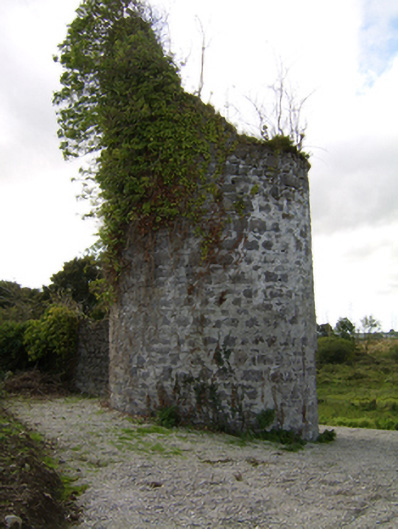 Woodlawnfolly · 1006 yd
 St. Killaans WellHoly well · 1128 yd
 Quarry in Ballybaun (killaan Ed)Quarry · 1408 yd
 Large-leaved LimeLarge-leaved Lime · 1.2 mi
 Western RedcedarWestern Redcedar · 1.6 mi
 Kilconnell AbbeyHeritage attraction · 2.6 mi
 Battle of Aughrim Interpretative CentreMuseum · 5.7 mi
 Battle of AughrimMajor battlefield · 6.0 mi
 Turoe StoneHeritage attraction · 6.1 mi