What is recorded here
Kinclare holds a worn oval rath thirty-six metres long where quarrying bit into the north-west edge and a field bank still shadows the western line. The grassland remains level, but the inner scarp and eastern fosse have faded into a shallow breath of earth. Perhaps people lived there before the stones disappeared, raising children or arguing about weather inside the disappearing circle.
In level grassland. Poorly preserved oval rath (N-S 36m, E-W 30m) defined by an inner scarp, and at NE by an intervening fosse and outer bank. Quarrying has encroached upon the monument at NW. A field bank encircles the monument at W, possibly on the line of the outer bank.
The above description is derived from the published 'Archaeological Inventory of County Galway Vol. II - North Galway'. Compiled by Olive Alcock, Kathy de hÓra and Paul Gosling (Dublin: Stationery Office, 1999).
Date of upload: 05 August 2010
The monument record does not grant public access. Check the route and ask the landowner before entering private land.
- What survives
- Recorded monument
Places near here
 Enclosure in LisleaEnclosure · 843 yd
 Religious houseReligious house, Carmelite friars · 1243 yd
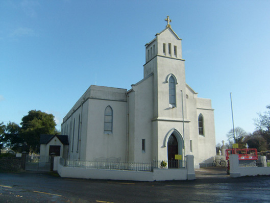 Saint Solan's Catholic Churchchurch/chapel · 1245 yd
 Enclosure in CloonpeeEnclosure · 1.0 mi
 Castle (in ruins)Castle, unclassified · 1.5 mi
 Castle (Site of)Castle, unclassified · 1.8 mi
 Sweet ChestnutSweet Chestnut · 2.6 mi
 SycamoreSycamore · 2.8 mi
 Ballinlass Eviction MemorialMemorial · 5.0 mi
 Kilconnell AbbeyHeritage attraction · 6.6 mi
 Battle of Aughrim Interpretative CentreMuseum · 9.8 mi
 Mount MaryMountain / peak · 10 mi