
What is recorded here
On a gentle rise. Marked on 3rd ed. of OS 6-inch map (1932) as an oval enclosure (N-S c. 40m, E-W c. 25m). Apart from a very slightly raised platform, no visible surface trace survives; it was levelled during land reclamation.
The above description is derived from the published 'Archaeological Inventory of County Galway Vol. II - North Galway'. Compiled by Olive Alcock, Kathy de hÓra and Paul Gosling (Dublin: Stationery Office, 1999).
Date of upload: 05 August 2010
A local fairy fort (ringfort/rath); wider significance not recorded.
The monument record does not grant public access. Check the route and ask the landowner before entering private land.
- What survives
- Recorded monument
Places near here
 Enclosure in Lurgan (kilconnell By.)Enclosure · 1167 yd
 Religious houseReligious house, Carmelite friars · 1223 yd
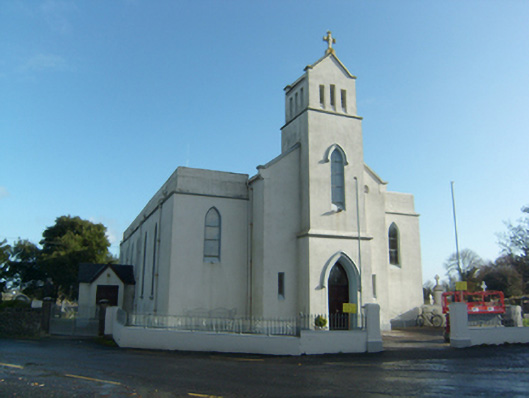 Saint Solan's Catholic Churchchurch/chapel · 1234 yd
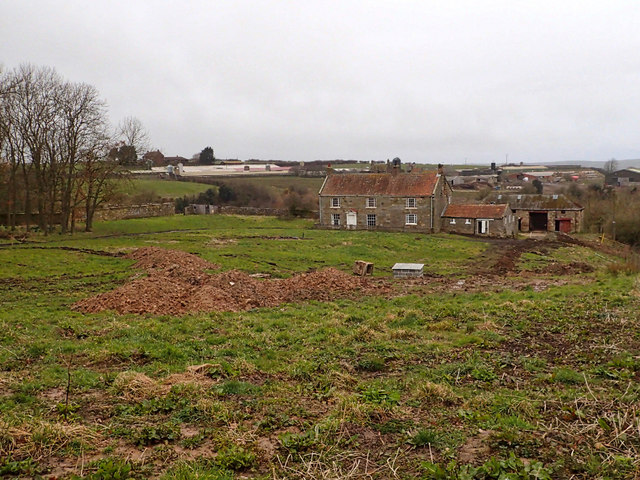 Site of NunneryReligious house, unclassified · 1616 yd
 Castle (in ruins)Castle, unclassified · 2.0 mi
 Castle (Site of)Castle, unclassified · 2.2 mi
 Sweet ChestnutSweet Chestnut · 2.3 mi
 SycamoreSycamore · 2.6 mi
 Ballinlass Eviction MemorialMemorial · 5.0 mi
 Kilconnell AbbeyHeritage attraction · 6.7 mi
 Battle of Aughrim Interpretative CentreMuseum · 9.7 mi
 Mount MaryMountain / peak · 9.8 mi
Other information
Photo: Credit not shown in the picture search · Rights wording not checked; contact us if this picture should be removed