What is recorded here
Marked only on the 1923 ed. of the OS 6-inch map as a half circle of hachures NE-SW (diam. c. 30m) and situated in pasture on a W-facing slope. It is known locally to have consisted of a semicircular bank, but is not now visible at ground level.
The above description is derived from the published 'Archaeological Inventory of County Waterford' (Dublin: Stationery Office, 1999). In certain instances the entries have been revised and updated in the light of recent research.
Date of upload/revision: 26th August, 2010.
The monument record does not grant public access. Check the route and ask the landowner before entering private land.
- What survives
- Recorded monument
Places near here
 Site of ChurchChurch · 955 yd
 LiscamnaboHilltop enclosure · 1120 yd
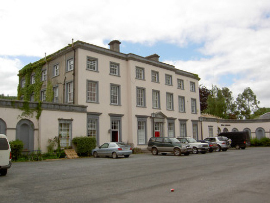 Marlfield Housecountry house · 1521 yd
 American SweetgumAmerican Sweetgum · 1559 yd
 European ashEuropean ash · 1620 yd
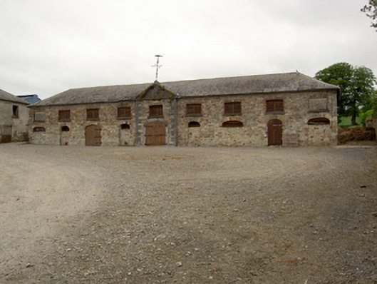 Marlfield Farmfarmyard complex · 1.0 mi
 Castle, Kilmanahan CastleCastle, tower house · 1.1 mi
 Kilmacomma HillMountain / peak · 1.2 mi
 Crusader's GraveHeritage attraction · 1.4 mi
 CastleCastle, ringwork · 1.4 mi
 Carey's Castle WoodsVisitor information · 1.6 mi
 Toberaheena WellSpring · 2.2 mi