What is recorded here
Killosolan holds a thirty-four-metre circular rath on a grassy ridge, its degraded bank and partial outer ditch still marking the boundary between human memory and forgotten time. The structure survives in fair condition, suggesting people shaped that summit long before modern roads or fields claimed the wider landscape. Its incomplete ditch and weathered earth invite wonder about the lives lost inside, while the steady circle resists the claim that the place has been fully explained.
On a ridge summit in grassland. Almost circular rath (D 34m), in fair condition, defined by a degraded bank and external fosse; traces of the latter survive only at E and S.
The above description is derived from the published 'Archaeological Inventory of County Galway Vol. II - North Galway'. Compiled by Olive Alcock, Kathy de hÓra and Paul Gosling (Dublin: Stationery Office, 1999).
Date of upload: 05 August 2010
The monument record does not grant public access. Check the route and ask the landowner before entering private land.
- What survives
- Recorded monument
Places near here
 Site of FortFairy fort / earthen ringfort · 596 yd
 Enclosure in Ticooly (o'kelly)Enclosure · 662 yd
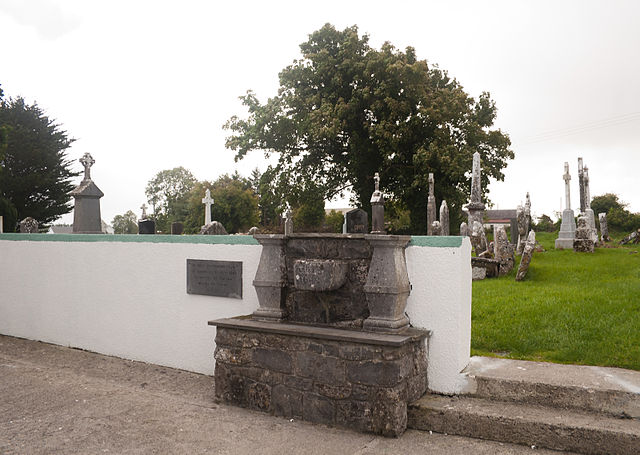 Quarry in CaltraQuarry · 1456 yd
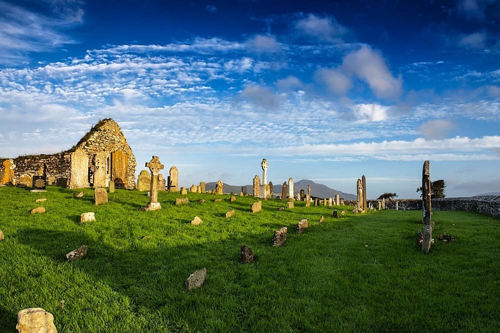 Killosolan ChurchChurch · 1.0 mi
 Tower (in Ruins)Castle, tower house · 2.3 mi
 Castle (Site of)Castle, unclassified · 2.9 mi
 Cloonavihony WoodForest · 3.4 mi
 Sweet ChestnutSweet Chestnut · 3.4 mi
 Ballinlass Eviction MemorialMemorial · 3.8 mi
 Mount MaryMountain / peak · 8.2 mi
 Kilconnell AbbeyHeritage attraction · 8.2 mi
 Sally IslandIslet · 9.0 mi