What is recorded here
Situated on a slight rock outcrop, in gently undulating pasture and scrub, with good views to NE and S. Ringfort (WM024-159----) lies c. 105m to S. Annotated 'Fort' and depicted on the 1837 OS Fair Plan map as an oval-shaped earthwork (approx. dims. 44m NW-SE; 31m NE-SW) bisected by a footpath. Levelled monument described in 1971 as no surface remains visible. The townland boundary with Killaroo abuts the monument to SW.
Compiled by Alison McQueen, Vera Rahilly and Caimin O’Brien.
Date of upload: 28 August 2019
The monument record does not grant public access. Check the route and ask the landowner before entering private land.
- What survives
- Recorded monument
Places near here
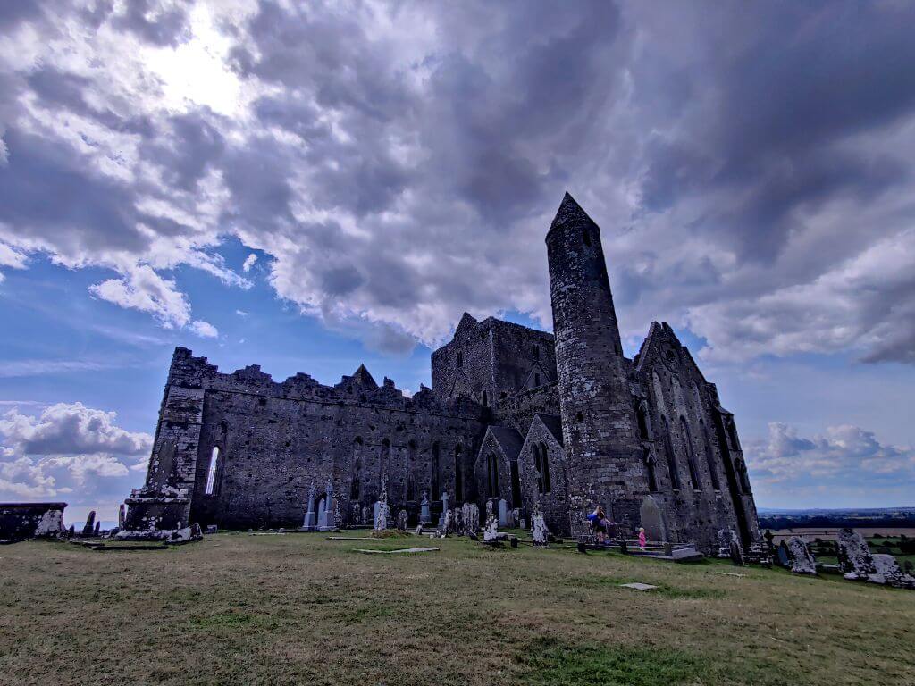 Partially hachuredFairy fort / earthen ringfort · 155 yd
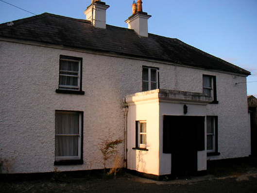 Killaroo Househouse · 250 yd
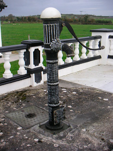 water pumpwater pump · 591 yd
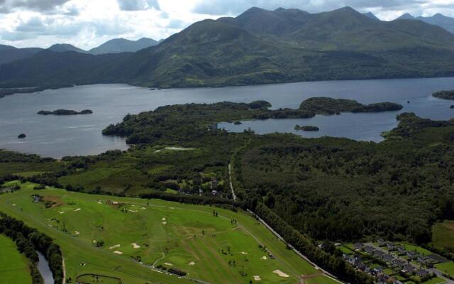 OutlinedFairy fort / earthen ringfort · 710 yd
 Stremmingstown CastleCastle · 1645 yd
 Sam's ParkForest · 1731 yd
 Killeenbrack CastleCastle · 1.2 mi
 European ashEuropean ash · 2.0 mi
 KnockastiaMountain / peak · 2.6 mi
 The Bob Traynor GalleryGallery · 7.5 mi
 Dún na Sí Heritage CentreMuseum · 7.7 mi
 Guest ServicesVisitor information · 8.9 mi