What is recorded here
Killagh More holds a subcircular rath thirty-eight metres across on a grassy ridge, marked by a steep scarp and a surviving external fosse. The earthwork contains a man-made underground passage, suggesting the site served human purposes beyond ordinary pasture. Local names call it a fairy fort, yet the measured dimensions and built tunnel point to a inhabited place where people dug, defended or hid before the stories changed its shape.
On a ridge in grassland. Subcircular rath (NNE-SSW 38.8m, WNW-ESE 36m), in fair condition, defined by a scarp and an external fosse; the latter survives from NE to ESE. Numerous gaps appear modern. Within the interior is a Man-made underground passage (GA086-166001-).
The above description is derived from the published 'Archaeological Inventory of County Galway Vol. II - North Galway'. Compiled by Olive Alcock, Kathy de hÓra and Paul Gosling (Dublin: Stationery Office, 1999).
Date of upload: 05 August 2010
The monument record does not grant public access. Check the route and ask the landowner before entering private land.
- What survives
- Recorded monument
Places near here
 CastleCastle, unclassified · 210 yd
 Site of Lisnamoltaun CastleCastle, unclassified · 280 yd
 Enclosure in Killagh MoreEnclosure · 1140 yd
 Enclosure in CloverparkEnclosure · 1354 yd
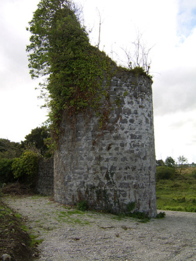 Woodlawnfolly · 1676 yd
 Quarry in Ballybaun (killaan Ed)Quarry · 1734 yd
 Large-leaved LimeLarge-leaved Lime · 1.6 mi
 Western RedcedarWestern Redcedar · 2.1 mi
 Kilconnell AbbeyHeritage attraction · 2.6 mi
 Battle of Aughrim Interpretative CentreMuseum · 5.4 mi
 Battle of AughrimMajor battlefield · 5.7 mi
 Turoe StoneHeritage attraction · 6.0 mi