What is recorded here
Situated on a low rise in grassland with commanding views in all directions. Depicted on the 1837 OS Fair Plan map as a circular-shaped earthwork with trees in the interior annotated as ‘fort’. Depicted on 1850 estate map as a ‘rath planted’ & enclosed within a field fence (NLI 21 F. 80 (29)). This monument was levelled in the 1960s. Now visible as a circular rise (approx. diam. 28m NW-SE) of ground defined by a scarp. Outline of levelled monument visible on Digital Globe aerial photograph taken November 2011.
Compiled by: Frank Coyne and Caimin O'Brien
Date of upload: 9 April 2018
The monument record does not grant public access. Check the route and ask the landowner before entering private land.
- What survives
- Recorded monument
Places near here
 No indicatedFairy fort / ringfort · 823 yd
 Site of Fennor CastleCastle, tower house · 1217 yd
 Man-made underground passage in BalreaghMan-made underground passage · 1230 yd
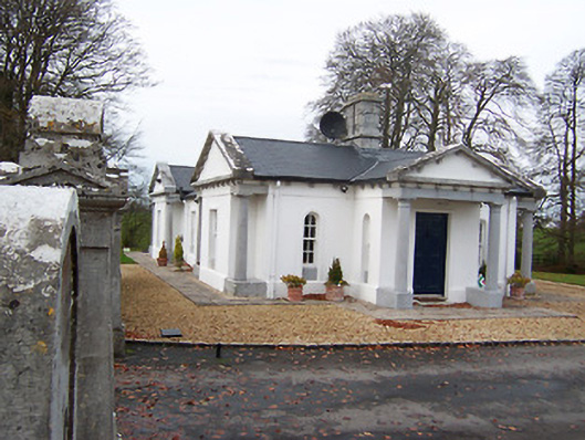 Gigginstown Housegate lodge · 1267 yd
 CastleCastle, motte · 1361 yd
 Church in ruinsChurch · 1.1 mi
 GinkgoGinkgo · 2.2 mi
 KnockeyonMountain / peak · 4.3 mi
 The FurzeForest · 4.8 mi
 Castle IslandIslet · 4.8 mi
 Seafin HillMountain / peak · 7.7 mi
 Zip WireHeritage attraction · 10 mi