What is recorded here
Islandea is a slight oval of raised earth in County Limerick, still visible after people dug it for sand. That much is clear. What is missing is the life that formed it, defended it or forgot it. The fairies may have built it, or people may have built it and fairies may have inherited the story.
In gently undulating pasture, 200m SE of the N21 road. Depicted on the 1840 ed. OS 6-inch map as a roughly oval-shaped earthwork (dims. c. 40m N-S; 37.5m E-W). Monument surveyed by the ASI in 2000 and described as an oval-shaped area (37m E-W; 27m N-S) which is slightly raised (H 1m) above the surrounding ground level. According to local information, the raised area was quarried in the past and was known as a sand pit. Monument is visible as a roughly oval-shaped cropmark on Digital Globe orthophotos taken 2011-13 and on Google Earth orthoimages taken 28/06/2018.
See attached Google Earth orthoimage.
Compiled by: Alison McQueen and Vera Rahilly
Date of upload: 31 July 2020
The monument record does not grant public access. Check the route and ask the landowner before entering private land.
- What survives
- Recorded monument
Places near here
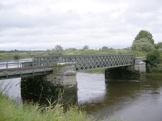 bridgebridge · 713 yd
 Adare Railway Stationrailway station · 761 yd
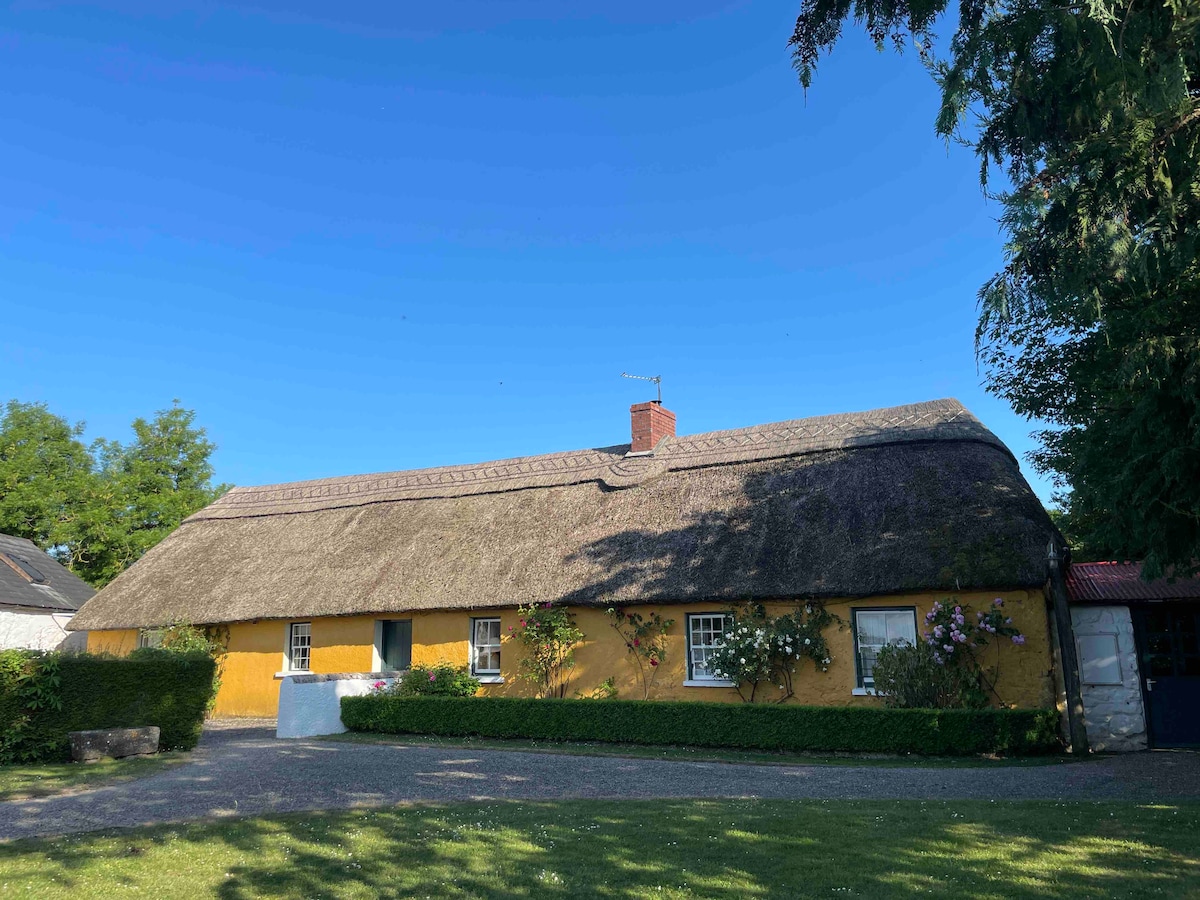 Enclosure in ArdshanballyEnclosure · 822 yd
 Fulacht fia in ArdshanballyFulacht fia · 1020 yd
 Adare Tourist OfficeVisitor information · 1448 yd
 European BeechEuropean Beech · 1598 yd
 Desmond CastleHeritage attraction · 1601 yd
 Desmonds Castle (in ruins)Castle, Anglo-Norman masonry castle · 1607 yd
 Adare Desmond CastleMedieval castle · 1607 yd
 CastleCastle, tower house · 1702 yd
 American SweetgumAmerican Sweetgum · 1.2 mi
 KnocknagowerNamed rock · 1.3 mi