What is recorded here
Situated at N edge of a natural ridge in undulating pasture land with extensive views to N, E & SW, overlooked by higher ground to S. Site of levelled monument now located in centre of modern coniferous plantation. No surface remains visible of levelled monument which was levelled c. 1930s.
Compiled by: Frank Coyne & Caimin O'Brien
Date of upload: 18 November 2016
The monument record does not grant public access. Check the route and ask the landowner before entering private land.
- What survives
- Recorded monument
Places near here
 Mullaghmeen ForestPicnic place · 1033 yd
 EnclosureEnclosure, large enclosure · 1091 yd
 Partially hachuredFairy fort / earthen ringfort · 1191 yd
 CastleCastle, unclassified · 1407 yd
 IndicatedCastle, motte and bailey · 1.0 mi
 Mullaghmeen Red WalkWalking route · 1.1 mi
 mill (water)mill (water) · 1.2 mi
 Mullaghmeen White WalkWalking route · 1.3 mi
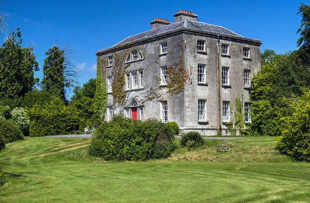 Hilltown Housecountry house · 1.3 mi
 MullaghmeenMountain / peak · 1.7 mi
 European BeechEuropean Beech · 2.2 mi
 Rock of CurryCliff · 2.7 mi