What is recorded here
Situated on a slight N-facing slope in a farmyard. Depicted as an oval-shaped enclosure on the 1835 edition of the OS 6-inch map. On the 1912 edition it is depicted as a hachured arc extending from WNW-N-SW. The remainder of the circuit is shown as being occupied by a NNE-SSW field boundary. This monument has been levelled and there are no remains now visible.
Compiled by: Patrick F. O'Donovan
Date of upload: 24 April 2013
The monument record does not grant public access. Check the route and ask the landowner before entering private land.
- What survives
- Recorded monument
Places near here
 IndicatedFairy fort / stone ringfort · 202 yd
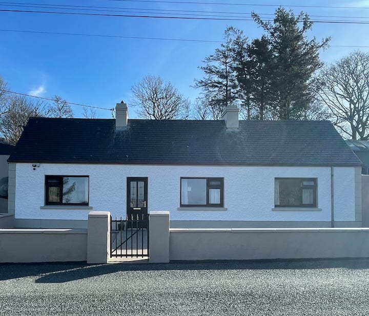 Enclosure in GrogaghEnclosure · 276 yd
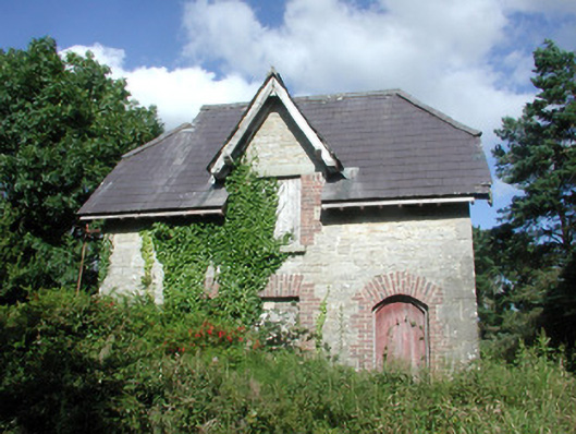 Benbulbin Old Schoolschool master's house · 415 yd
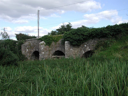 Ardnaglass Bridgebridge · 842 yd
 CastleCastle, unclassified · 1.2 mi
 BenbulbinMountain / peak · 1.8 mi
 InishnagorIslet · 1.8 mi
 BenbulbenMountain · 1.9 mi
 Atlantic SheepdogsHeritage attraction · 1.9 mi
 Connors IslandIsland · 2.3 mi
 Benbulbin South-East TopMountain / peak · 2.5 mi
 de Cuellar Armada MonumentMemorial · 2.8 mi