What is recorded here
Fairy fort / ringfort in Grange (coolock By., Malahide Ed) is a hidden ringfort in County Dublin, Ireland, recorded on the 1837 OS 6-inch map and preserved in aerial cropmarks rather than visible earthworks. The main enclosure measures about 55 metres east-west and 45 metres north-south, with another enclosure nearby and field systems beside it. People may have lived, worked or avoided the place before it disappeared under fields and memory. What is certain is that the land still holds the shape of two enclosed lives, waiting to be read from above.
Situated in undulating tillage. Indicated on the 1837 OS 6-inch map. An aerial photograph (CUCAP, AOZ 51) shows cropmark evidence for a subcircular enclosure (dims. 55m E-W; 45m N-S) with associated field systems. The cropmark of another enclosure lies c. 10m to the west (DU015-003001-). Also visible on Bing (viewed 24/01/2015). Not visible at ground level.
Compiled by: Geraldine Stout
Updated by: Christine Baker
Date of upload: 24 January 2015
The monument record does not grant public access. Check the route and ask the landowner before entering private land.
- What survives
- Recorded monument
Places near here
 Enclosure in Broomfield (coolock By.)Enclosure · 234 yd
 MoatCastle, motte and bailey · 846 yd
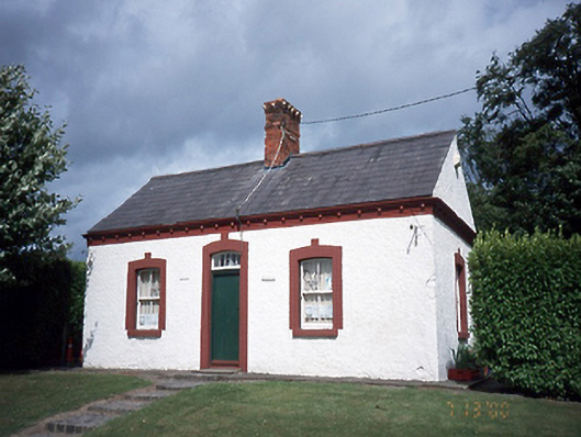 Malahide Castlegate lodge · 886 yd
 Field system in KinsaleyField system · 948 yd
 Black WoodWood · 1065 yd
 Malahide DemesneVisitor information · 1161 yd
 Malahide Castle Demesne Church (Ruin)Ruins · 1350 yd
 Church (in ruins)Church · 1353 yd
 Casino Model Railway MuseumMuseum · 1.1 mi
 Welcome To MalahideVisitor information · 1.2 mi
 Malahide BeachBeach / strand · 1.3 mi
 Strand Mill RuinsRuins · 1.3 mi