What is recorded here
No visible fort exists in Grange, only a hidden double ditch beneath the soil of the Forty acres. Aerial views reveal a thirty-metre circle where ordinary ground conceals ancient boundaries. The missing walls suggest human hands shaped the land before memory faded, leaving behind a ghostly geometry rather than a proud stone ruin.
Located within the field known as the Forty acres. Situated in the north-west quadrant of field where the ground rises slightly. Within otherwise reasonably level open ground which falls away towards Ballyboghill stream to the N. An aerial photograph taken in 1972 (FSI 588/7) shows a circular cropmark of a double-ditched enclosure (est. diam. c. 30m). Clearly visible on Bing aerials (accessed 7/11/13). This is probably a levelled bivallate ringfort. Not visible at ground level.
Compiled by: Geraldine Stout
Updated by: Christine Baker
Date of upload: 29 November 2014
The monument record does not grant public access. Check the route and ask the landowner before entering private land.
- What survives
- Recorded monument
Places near here
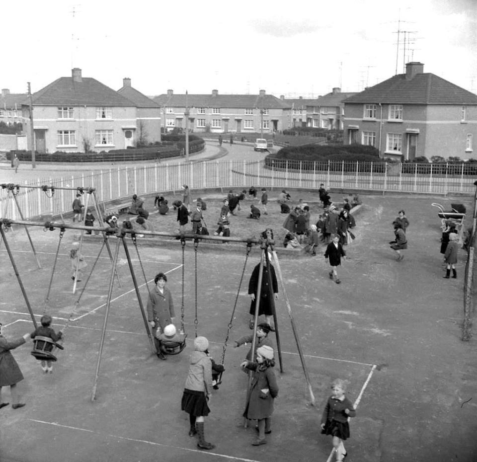 Earthwork in BallyboghilEarthwork · 175 yd
 Ring-ditch in BallyboghilRing-ditch · 242 yd
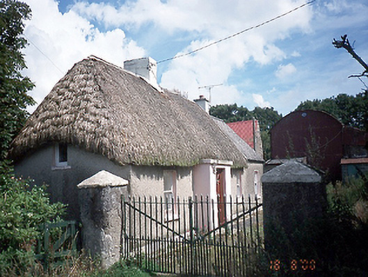 farm housefarm house · 375 yd
 Catholic Church of the Assumptionchurch/chapel · 580 yd
 St Kenny's WellSpring · 2.5 mi
 Graveyard in KillosseryGraveyard · 2.5 mi
 Hollywood GreatMountain / peak · 2.7 mi
 St. John's WellSpring · 2.9 mi
 Wooly Ward's FarmHeritage attraction · 3.0 mi
 KnockbrackMountain / peak · 3.6 mi
 Cornstown HouseHeritage attraction · 4.3 mi
 Freedagh MoatCastle, motte · 4.4 mi