What is recorded here
Two forts stood in Gortnahorna farmland, one fifteen metres from the other, as if people needed a backup or the land demanded duplication. The larger circle keeps its bank and ditch intact, with a five-metre gap at the east that may be an entrance or may be a wound. Fairies take the smaller one at night; humans took both by force. Distance does not separate them, because the ground remembers every claim laid upon it.
In undulating farmland. Circular rath (D 31m), in fair condition, defined by bank and external fosse. A gap (Wth 5m) at E could be original. A ringfort (GA087-097----) lies c. 150m to SW.
The above description is derived from the published 'Archaeological Inventory of County Galway Vol. II - North Galway'. Compiled by Olive Alcock, Kathy de hÓra and Paul Gosling (Dublin: Stationery Office, 1999).
Date of upload: 05 August 2010
The monument record does not grant public access. Check the route and ask the landowner before entering private land.
- What survives
- Recorded monument
Places near here
 LisleaArchaeological place · 169 yd
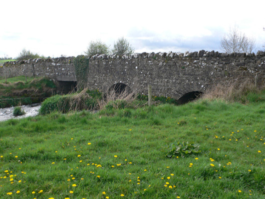 Ballinure Bridgebridge · 901 yd
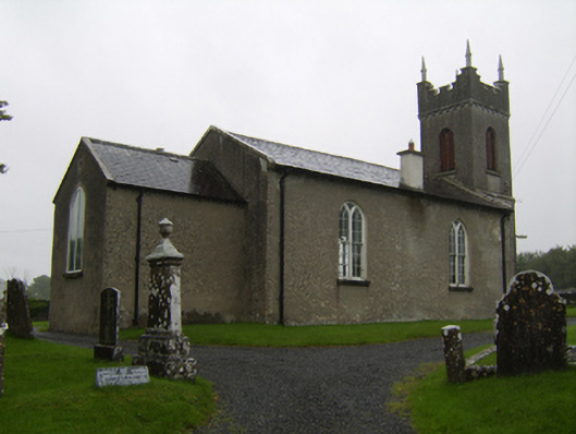 Saint Matthew's Church (Clontuskert)church/chapel · 1352 yd
 Enclosure in TempleparkEnclosure · 1461 yd
 Ballagh Castle (in Ruins)Castle, unclassified · 1.1 mi
 Urraghry HillMountain / peak · 1.6 mi
 The bloody HollowHeritage attraction · 2.3 mi
 West WoodWood · 2.3 mi
 European BeechEuropean Beech · 2.5 mi
 Battle of AughrimMajor battlefield · 2.6 mi
 Ardcarn IslandsIslet · 2.8 mi
 Castle (Site of)Castle, Anglo-Norman masonry castle · 3.0 mi