What is recorded here
Fairy fort in Gortnahorna, County Galway: a shallow circular scar beside a stream, forty metres across, with a broken gap where a causeway may have crossed. People walked that gap, perhaps dragged water or carried firewood, while children called it a fairy fort because the shape appeared and disappeared under grass. The land kept the circle long after the hands left it.
In undulating grassland immediately W of a stream. Very poorly preserved almost circular rath (N-S c. 40m, E-W c. 39m) defined by a scarp and external fosse. A low ill-defined mound, evident from SE through S to W, may indicate traces of an outer bank. A gap (Wth c. 6m) and possible causeway at WNW may be original.
The above description is derived from the published 'Archaeological Inventory of County Galway Vol. II - North Galway'. Compiled by Olive Alcock, Kathy de hÓra and Paul Gosling (Dublin: Stationery Office, 1999).
Date of upload: 05 August 2010
The monument record does not grant public access. Check the route and ask the landowner before entering private land.
- What survives
- Recorded monument
Places near here
 LisleaArchaeological place · 618 yd
 Enclosure in TempleparkEnclosure · 798 yd
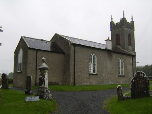 Saint Matthew's Church (Clontuskert)church/chapel · 1156 yd
 Ballagh Castle (in Ruins)Castle, unclassified · 1446 yd
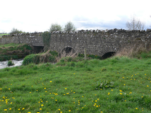 Ballinure Bridgebridge · 1547 yd
 Urraghry HillMountain / peak · 1.3 mi
 The bloody HollowHeritage attraction · 1.9 mi
 Battle of AughrimMajor battlefield · 2.2 mi
 West WoodWood · 2.3 mi
 European BeechEuropean Beech · 2.5 mi
 Castle (Site of)Castle, Anglo-Norman masonry castle · 2.6 mi
 Battle of Aughrim Interpretative CentreMuseum · 2.6 mi