What is recorded here
Fairy fort in Gortavaura, County Galway: a subcircular ringfort about 43.5m by 40.5m in level grassland, its bank partly covered by a later field bank from SSE to SW, with a possible original gap at NE. It is very poorly preserved, more suggestion than structure, the kind of place where a farm field swallowed an older boundary and left behind a shallow breath of a wall. If it was a fort, it stopped being a fort long before anyone wrote it down; if it was a fairy fort, it is doing exactly what fairy forts do, refusing to be remembered straight.
In level grassland. Very poorly preserved subcircular rath (N-S 43.5m, E-W 40.5m) defined by a bank overlain by a field bank from SSE to SW. A gap at NE may be original.
The above description is derived from the published 'Archaeological Inventory of County Galway Vol. II - North Galway'. Compiled by Olive Alcock, Kathy de hÓra and Paul Gosling (Dublin: Stationery Office, 1999).
Date of upload: 05 August 2010
The monument record does not grant public access. Check the route and ask the landowner before entering private land.
- What survives
- Recorded monument
Places near here
 The HazelWood · 583 yd
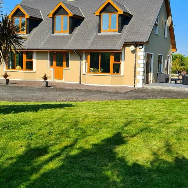 CahermoreHillfort · 935 yd
 Belleville CastleCastle · 1429 yd
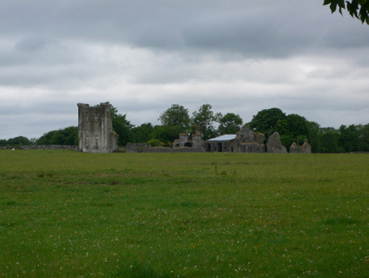 Bellevillecountry house · 1432 yd
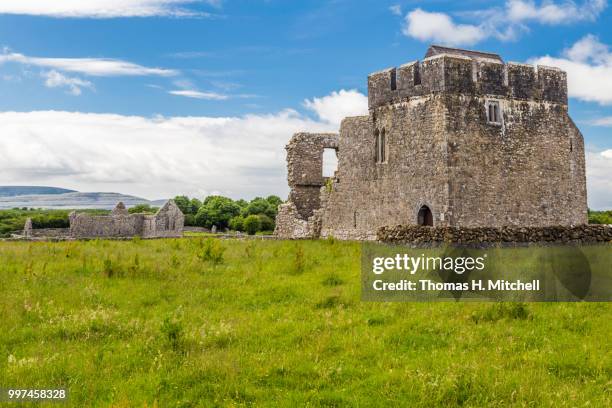 Kilskeagh castleCastle · 1723 yd
 bridgebridge · 1.2 mi
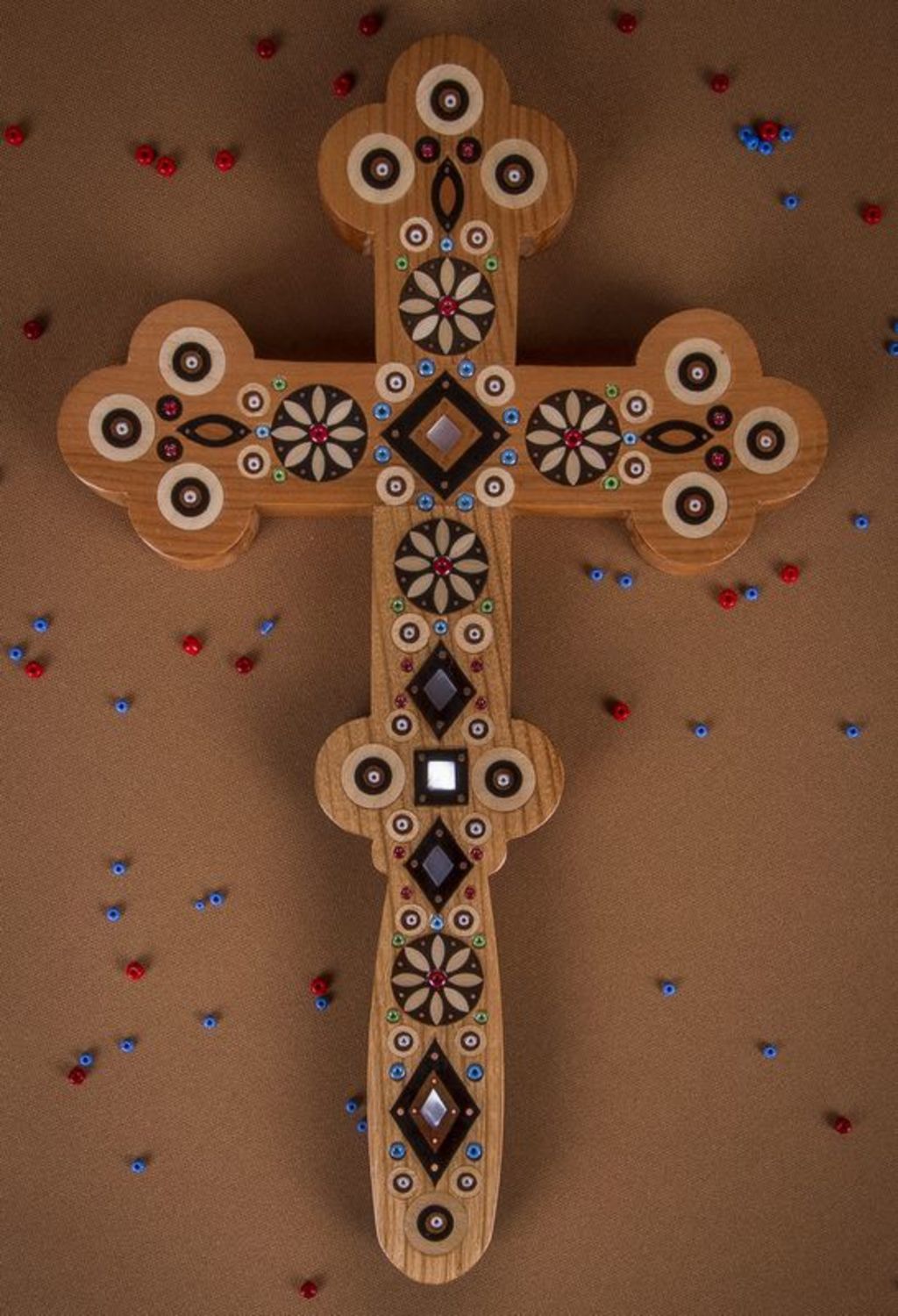 Wooden CrossCross, Market cross · 1.2 mi
 SycamoreSycamore · 2.7 mi
 First Battle of Athenrybattle · 3.6 mi
 Athenry CastleHeritage attraction · 4.3 mi
 Athenry AbbeyHeritage attraction · 4.4 mi
 Rabbit IslandIslet · 12 mi